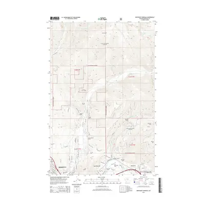
2014 Map of Northeast Missoula
USGS Topo · Published 2014About this map
Mt Jumbo and Waterworks Hill dominate the skyline above the northeastern reaches of Missoula, where residential streets meet the expansive boundaries of the Lolo National Forest. The landscape is defined by the sharp transition from urban development to protected wilderness, as the city gives way to a network of steep drainages including Spring Gulch and Sawmill Gulch. To the east, the Clark Fork river carves through the terrain, flanked by the communities of East Missoula and Pinegrove.
Find a feature on this map
81 named features on this map. Tap any name to fly to it.
Don’t see what you’re looking for? This feature index may not catch every label — zoom into the map to look around manually.
Map Details
Editions of this 2014 Northeast Missoula Map
This is the sole edition of this map. No revisions or reprints were ever made.
Other maps of this area

1903 · Bonner
USGS Topo · 1:125,000

1912 · Missoula
USGS Topo · 1:125,000

1921 · Elbow Lake
USGS Topo · 1:125,000

1947 · Butte
USGS Topo · 1:250,000

1955 · Choteau
USGS Topo · 1:250,000

1956 · Wallace
USGS Topo · 1:250,000

1956 · Hamilton
USGS Topo · 1:250,000

1957 · Choteau
USGS Topo · 1:250,000

1958 · Butte
USGS Topo · 1:250,000

1958 · Choteau
USGS Topo · 1:250,000