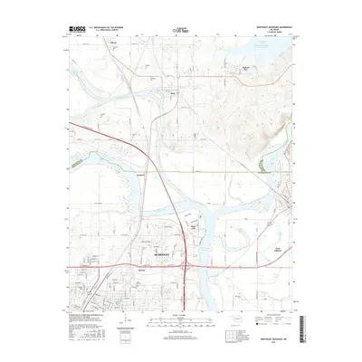
2016 Map of Northeast Muskogee
USGS Topo · Published 2016About this map
The confluence of three major waterways—the Arkansas River, Verdigris River, and Neosho River—dominates this survey of northeastern Muskogee. This hydrographic junction has long defined the region's development, evidenced by the proximity of Fort Gibson and several surrounding settlements like Wybark, Okay, and Gibson. The map provides significant detail for genealogists, documenting numerous burial sites such as Green Hill Cem, Evergreen Cem, and New Hope Cem. Higher education and vocational training are represented by the campus of Bacone Coll and a Vo Tech facility, reflecting the area's role as a regional center. Modern infrastructure, including the Chouteau Lock and Dam and the Muskogee Tpke, intersects with the natural landscape of Webbers Falls Reservoir and family-named landmarks like Shimoon Lake and Katy Lake.
Find a feature on this map
108 named features on this map. Tap any name to fly to it.
Don’t see what you’re looking for? This feature index may not catch every label — zoom into the map to look around manually.
Map Details
Editions of this 2016 Northeast Muskogee Map
This is the sole edition of this map. No revisions or reprints were ever made.
Other maps of this area

1901 · Muscogee
USGS Topo · 1:125,000

1905 · Muscogee
USGS Topo · 1:125,000

1946 · Fort Smith
USGS Topo · 1:250,000

1948 · Hulbert
USGS Topo · 1:62,500

1948 · Keefeton
USGS Topo · 1:62,500

1948 · Webbers Falls
USGS Topo · 1:62,500

1948 · Wagoner
USGS Topo · 1:62,500

1950 · Keefeton
USGS Topo · 1:62,500

1950 · Wagoner
USGS Topo · 1:62,500

1950 · Hulbert
USGS Topo · 1:62,500