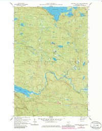
1959 Map of Northern Light Lake
USGS Topo · Published 1986About this map
The Superior National Forest in Cook County defines this remote corner of Minnesota, showing the landscape as it appeared during the late 1950s with later updates. The sheet is dominated by a complex hydrological network, where the winding course of the Brule River and the expansive Northern Light Lake provide the primary geographic markers. Small, isolated water bodies like Redcoat Lake and Section Ten Lake are scattered throughout the timbered terrain, reflecting the glaciated character of the Arrowhead Region.
Find a feature on this map
20 named features on this map. Tap any name to fly to it.
Don’t see what you’re looking for? This feature index may not catch every label — zoom into the map to look around manually.
Map Details
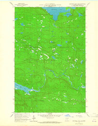
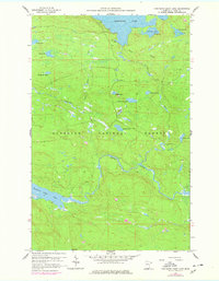
Editions of this 1959 Northern Light Lake Map
4 editions found
Other maps of this area

1954 · Two Harbors
USGS Topo · 1:250,000

1957 · Two Harbors
USGS Topo · 1:250,000

1957 · Quetico
USGS Topo · 1:250,000

1958 · Two Harbors
USGS Topo · 1:250,000

1959 · Northern Light Lake
USGS Topo · 1:24,000

1959 · Pine Mountain
USGS Topo · 1:24,000

1959 · Pine Lake East
USGS Topo · 1:24,000

1959 · Tom Lake
USGS Topo · 1:24,000

1959 · Pine Lake West
USGS Topo · 1:24,000

1959 · Crocodile Lake
USGS Topo · 1:24,000