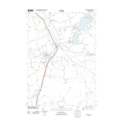
2012 Map of Northfield
USGS Topo · Published 2012About this map
The Winnipesaukee River and Winnisquam River carve through the center of this landscape, anchoring the connected communities of Tilton and Northfield. This area is defined by its water-driven history and commemorative landmarks, most notably the Tilton Arch and the Tilton Island Park Bridge that spans the river. To the north, the terrain rises toward Calet Hill and Sanbornton, while the eastern portion of the map is dominated by the sprawling waters of Lake Winnisquam and Silver Lake.
Find a feature on this map
150 named features on this map. Tap any name to fly to it.
Don’t see what you’re looking for? This feature index may not catch every label — zoom into the map to look around manually.
Map Details
Editions of this 2012 Northfield Map
This is the sole edition of this map. No revisions or reprints were ever made.
Other maps of this area

1909 · Winnepesaukee
USGS Topo · 1:62,500

1919 · Gilmanton
USGS Topo · 1:62,500

1925 · Holderness
USGS Topo · 1:62,500

1927 · Penacook
USGS Topo · 1:62,500

1927 · Gilmanton
USGS Topo · 1:62,500

1927 · Holderness
USGS Topo · 1:62,500

1949 · Portland
USGS Topo · 1:250,000

1956 · Winnipesaukee
USGS Topo · 1:62,500

1956 · Penacook
USGS Topo · 1:62,500

1956 · Holderness
USGS Topo · 1:62,500