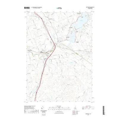
2021 Map of Northfield
USGS Topo · Published 2021About this map
The Winnipesaukee River serves as the central artery for the twin industrial and residential hubs of Tilton and Northfield, where the Belknap and Merrimack County line follows the water's path. This modern survey captures the complex topography of the Lakes Region, transitioning from the developed riverfront near the Tilton Island Park Bridge to the high ground of Mt Tug and Bean Hill. The landscape is a mix of established village centers and quiet water bodies like Knowles Pond and Silver Lake.
Find a feature on this map
125 named features on this map. Tap any name to fly to it.
Don’t see what you’re looking for? This feature index may not catch every label — zoom into the map to look around manually.
Map Details
Editions of this 2021 Northfield Map
This is the sole edition of this map. No revisions or reprints were ever made.
Other maps of this area

1909 · Winnepesaukee
USGS Topo · 1:62,500

1919 · Gilmanton
USGS Topo · 1:62,500

1925 · Holderness
USGS Topo · 1:62,500

1927 · Penacook
USGS Topo · 1:62,500

1927 · Gilmanton
USGS Topo · 1:62,500

1927 · Holderness
USGS Topo · 1:62,500

1949 · Portland
USGS Topo · 1:250,000

1956 · Winnipesaukee
USGS Topo · 1:62,500

1956 · Penacook
USGS Topo · 1:62,500

1956 · Holderness
USGS Topo · 1:62,500