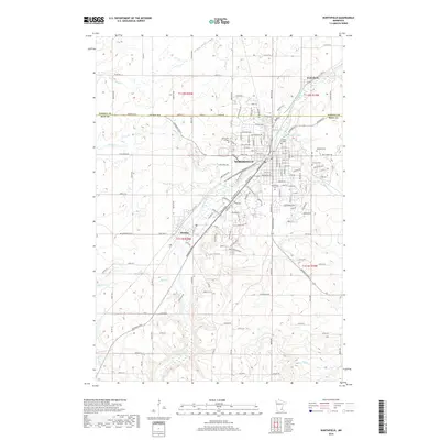
2019 Map of Northfield
USGS Topo · Published 2019About this map
The Northfield area in the late 2010s is defined by the winding course of the Cannon River and the significant campuses of Saint Olaf College and Carleton College. This landscape shows the evolution of a river-centered community where historic college grounds meet the growing residential outskirts of Dundas to the southwest and the small settlement of Waterford to the north. Local history is etched into the terrain through various burial grounds including Oaklawn Cem, Calvary Cem, and Northfield Cem. The map captures the complex interaction between the river's natural hydrology, illustrated by Lyman Lakes, and the rigid grid of county roads and avenues that extend into the surrounding agricultural lands of Dakota and Rice counties. Traces of the region's drainage can be seen in the smaller tributaries like Mud Cr, Heath Cr, and Wolf Cr.
Find a feature on this map
151 named features on this map. Tap any name to fly to it.
Don’t see what you’re looking for? This feature index may not catch every label — zoom into the map to look around manually.
Map Details
Editions of this 2019 Northfield Map
This is the sole edition of this map. No revisions or reprints were ever made.
Other maps of this area

1953 · Saint Paul
USGS Topo · 1:250,000

1957 · Farmington
USGS Topo · 1:62,500

1957 · Prior Lake
USGS Topo · 1:62,500

1959 · Saint Paul
USGS Topo · 1:250,000

1960 · Faribault
USGS Topo · 1:24,000

1960 · Northfield
USGS Topo · 1:24,000

1960 · Cannon City
USGS Topo · 1:24,000

1960 · Dennison
USGS Topo · 1:24,000

1960 · Little Chicago
USGS Topo · 1:24,000

1960 · Nerstrand
USGS Topo · 1:24,000