Loading...
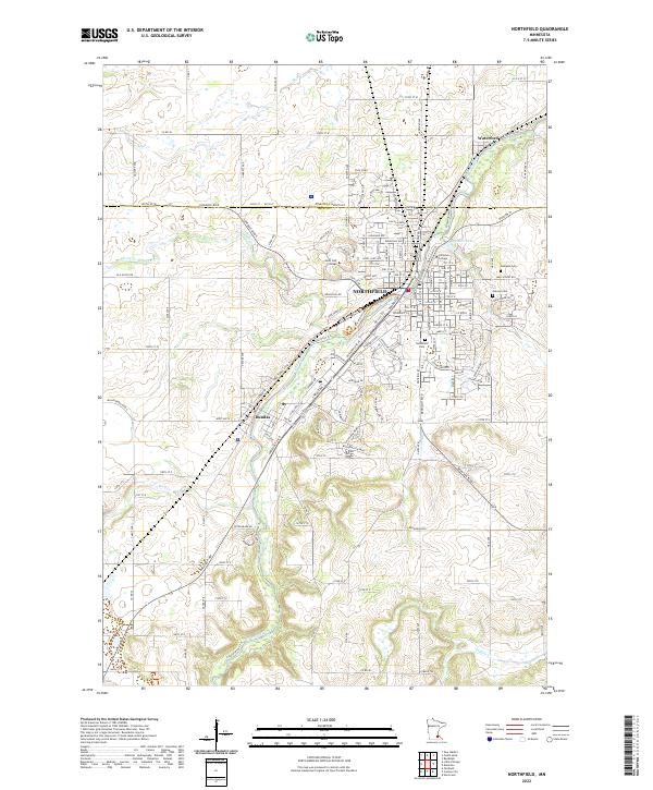
Loading map...2022 Map of Northfield
USGS Topo · Published 2022About this map
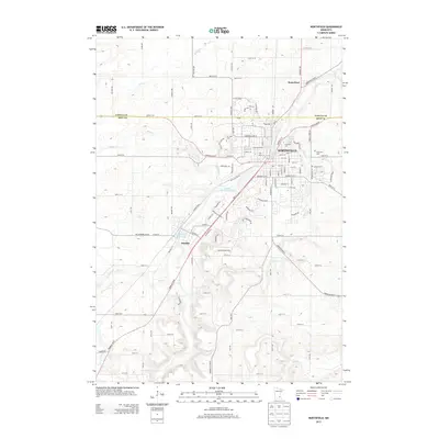
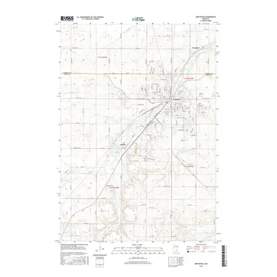
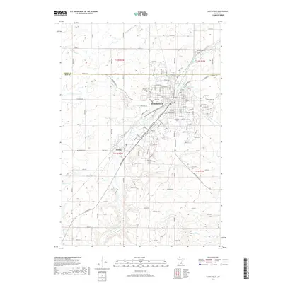
The Northfield area, split by the Cannon River, appears as a significant academic and regional hub in the early 2020s. The landscape is defined by the prominent campuses of Saint Olaf College and Carleton College, the latter featuring the serene Lyman Lakes within its grounds. This modern survey illustrates the residential and commercial density of the city center, transitioning into more open agrarian and woodland parcels toward the surrounding townships.
Find a feature on this map
159 named features on this map. Tap any name to fly to it.
Don’t see what you’re looking for? This feature index may not catch every label — zoom into the map to look around manually.
Map Details
Date Portrayed2022
Date Published2022
PublisherU.S. Geological Survey
Map TypeTopographic
Scale1:24,000
Physical Dimensions24 x 29 inches
Editions of this 2022 Northfield Map
This is the sole edition of this map. No revisions or reprints were ever made.
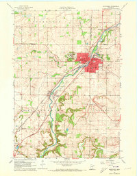
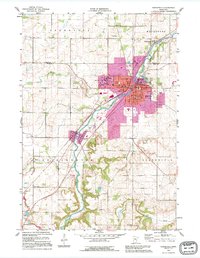
Historical Maps of Northfield Through Time
7 maps found
Featured Locations
Source Details
SourceU.S. Geological Survey
CopyrightPublic Domain