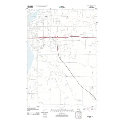
2010 Map of Northline
USGS Topo · Published 2010About this map
Lake Saint Croix and the waters of Lake Mallalieu define the western edge of this 2010 landscape, where the St. Croix Valley meets a growing network of residential and transportation corridors. The map documents the evolving geography of small settlements such as Northline, Sono Junction, and Glover, revealing how contemporary infrastructure like the Union Pacific railroad and major highways bisects the agricultural and wooded terrain.
Find a feature on this map
65 named features on this map. Tap any name to fly to it.
Don’t see what you’re looking for? This feature index may not catch every label — zoom into the map to look around manually.
Map Details
Editions of this 2010 Northline Map
This is the sole edition of this map. No revisions or reprints were ever made.
Other maps of this area

1946 · Hudson
USGS Topo · 1:62,500

1946 · River Falls
USGS Topo · 1:62,500

1948 · New Richmond
USGS Topo · 1:62,500

1948 · Stillwater
USGS Topo · 1:62,500

1949 · New Richmond
USGS Topo · 1:62,500

1949 · River Falls
USGS Topo · 1:62,500

1949 · Hudson
USGS Topo · 1:62,500

1949 · Stillwater
USGS Topo · 1:62,500

1949 · Hudson
USGS Topo · 1:24,000

1950 · Hudson
USGS Topo · 1:24,000