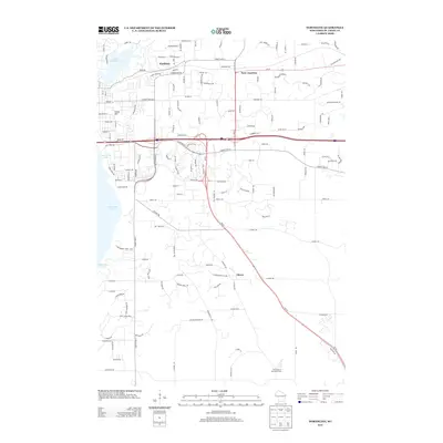
2013 Map of Northline
USGS Topo · Published 2013About this map
Lake Saint Croix defines the western edge of this landscape, where the river widens near the residential reaches of Northline. The interior terrain is characterized by a modern network of transportation corridors, including the convergence of Us-12 and Wi-35 at Sono Junction. To the south, the agricultural legacy of the region is anchored by the University of Wisconsin Farm, situated near the settlement of Glover. Rising above the residential streets of the northwest, Coons Hill provides a distinct topographical point of reference in an area otherwise marked by suburban expansion and winding residential drives like Coulee Trl. The map illustrates a transitional period where established institutional land use and natural water bodies meet the increasing infrastructure of the Interstate 94 corridor.
Find a feature on this map
149 named features on this map. Tap any name to fly to it.
Don’t see what you’re looking for? This feature index may not catch every label — zoom into the map to look around manually.
Map Details
Editions of this 2013 Northline Map
This is the sole edition of this map. No revisions or reprints were ever made.
Other maps of this area

1946 · Hudson
USGS Topo · 1:62,500

1946 · River Falls
USGS Topo · 1:62,500

1948 · New Richmond
USGS Topo · 1:62,500

1948 · Stillwater
USGS Topo · 1:62,500

1949 · New Richmond
USGS Topo · 1:62,500

1949 · River Falls
USGS Topo · 1:62,500

1949 · Hudson
USGS Topo · 1:62,500

1949 · Stillwater
USGS Topo · 1:62,500

1949 · Hudson
USGS Topo · 1:24,000

1950 · Hudson
USGS Topo · 1:24,000