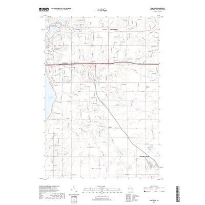
2018 Map of Northline
USGS Topo · Published 2018About this map
Hudson and the adjacent shoreline of Lake Saint Croix form the western edge of this 2018 survey, documenting the modern development of Saint Croix County. The landscape rises from the waterfront toward Coons Hill and the sprawling agricultural lands of Mann Valley to the south. Historically significant burial sites are well-preserved in the mapping, including Old Willow River Cem near North Hudson and the German Settlement Cem further inland, providing vital spatial data for local genealogists.
Find a feature on this map
197 named features on this map. Tap any name to fly to it.
Don’t see what you’re looking for? This feature index may not catch every label — zoom into the map to look around manually.
Map Details
Editions of this 2018 Northline Map
This is the sole edition of this map. No revisions or reprints were ever made.
Other maps of this area

1946 · Hudson
USGS Topo · 1:62,500

1946 · River Falls
USGS Topo · 1:62,500

1948 · New Richmond
USGS Topo · 1:62,500

1948 · Stillwater
USGS Topo · 1:62,500

1949 · New Richmond
USGS Topo · 1:62,500

1949 · River Falls
USGS Topo · 1:62,500

1949 · Hudson
USGS Topo · 1:62,500

1949 · Stillwater
USGS Topo · 1:62,500

1949 · Hudson
USGS Topo · 1:24,000

1950 · Hudson
USGS Topo · 1:24,000