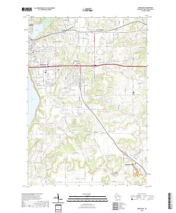
2022 Map of Northline
USGS Topo · Published 2022About this map
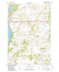
Hudson and North Hudson anchor this St. Croix County survey where the Willow River meets Lake Mallalieu and flows into the larger Lake Saint Croix. The landscape is a mix of established residential corridors and agricultural plateaus, punctuated by significant local landmarks like the Saint Croix County Government Center and the University of Wisconsin - River Falls Mann Valley Farm.
Find a feature on this map
204 named features on this map. Tap any name to fly to it.
Don’t see what you’re looking for? This feature index may not catch every label — zoom into the map to look around manually.
Map Details
Editions of this 2022 Northline Map
This is the sole edition of this map. No revisions or reprints were ever made.
Historical Maps of Town of Troy Through Time
20 maps found
1974 Baldwin East
St. Croix County, WI
1974 Baldwin West
St. Croix County, WI
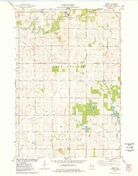
1974 New Richmond North
St. Croix County, WI
1974 New Richmond South
St. Croix County, WI
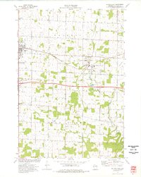
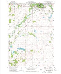
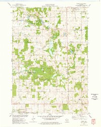
1974 Northline
St. Croix County, WI
1974 Somerset North
St. Croix County, WI
1974 Somerset South
St. Croix County, WI
1975 Forest
St. Croix County, WI
1975 Graytown
St. Croix County, WI
1975 Jewett
St. Croix County, WI
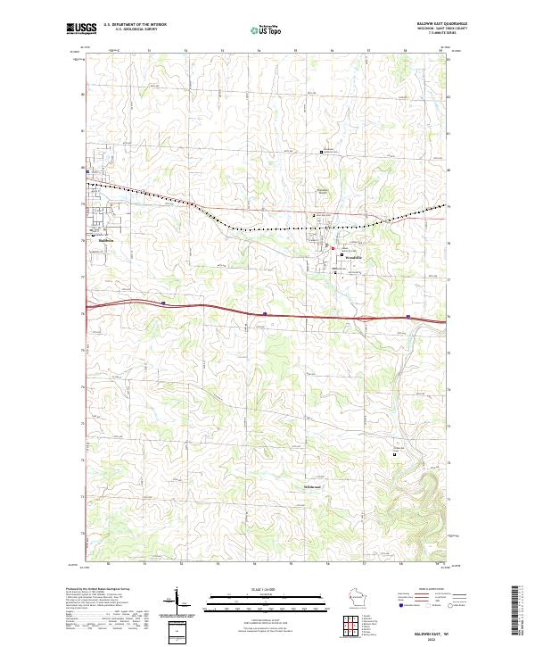
2022 Baldwin East
St. Croix County, WI
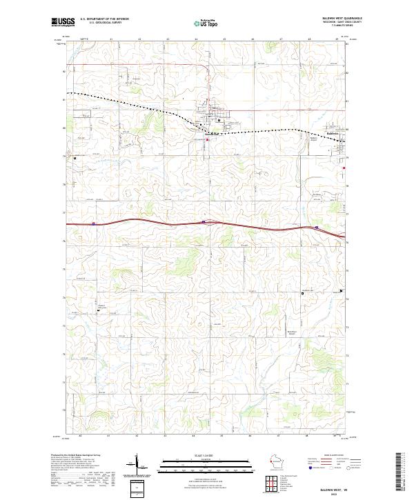
2022 Baldwin West
St. Croix County, WI
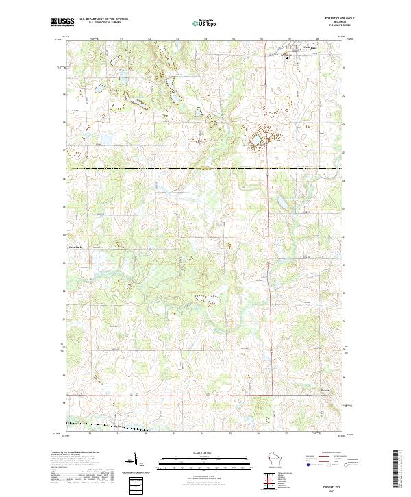
2022 Forest
St. Croix County, WI
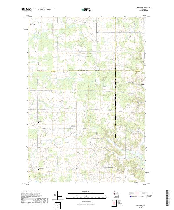
2022 Graytown
St. Croix County, WI
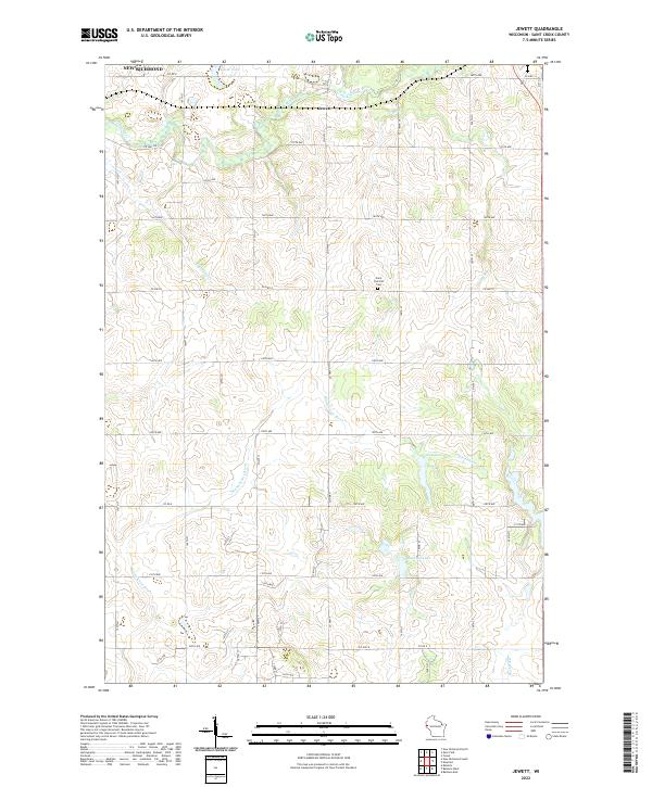
2022 Jewett
St. Croix County, WI
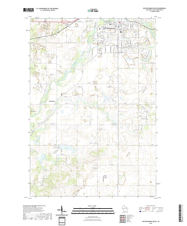
2022 New Richmond South
St. Croix County, WI
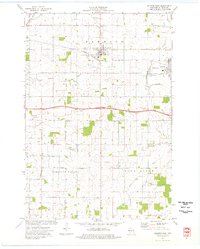
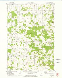
2022 Northline
St. Croix County, WI
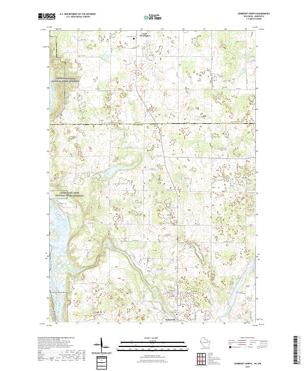
2022 Somerset North
St. Croix County, WI
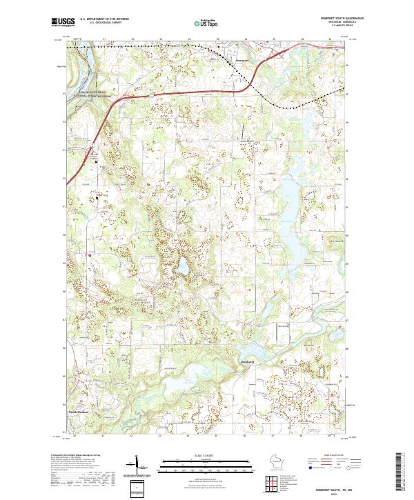
2022 Somerset South
St. Croix County, WI
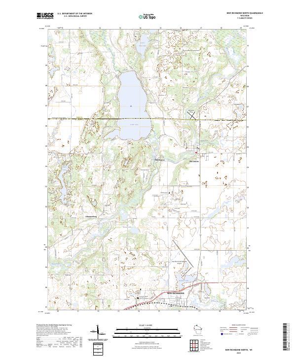
2023 New Richmond North
St. Croix County, WI