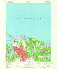
1954 Map of Northport
USGS Topo · Published 1965About this map
Northport Harbor and its deep-water access to the Long Island Sound dominate this mid-century topographic perspective of Suffolk County. The settlement of Northport is the primary urban center, characterized by a grid of streets including Main Street and institutions like Union Sch and the St Philip Neri Sch. To the east, large institutional campuses such as the Northport Veterans Hospital and the State Hosp near Kings Park define the land use, reflecting the era's significant public health infrastructure.
Find a feature on this map
48 named features on this map. Tap any name to fly to it.
Don’t see what you’re looking for? This feature index may not catch every label — zoom into the map to look around manually.
Map Details
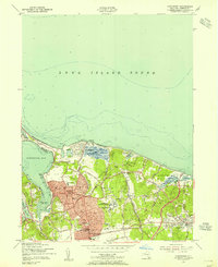
Editions of this 1954 Northport Map
2 editions found
Other maps of this area

1891 · Bridgeport
USGS Topo · 1:62,500

1892 · Norwalk
USGS Topo · 1:62,500

1893 · Bridgeport
USGS Topo · 1:62,500

1893 · Norwalk
USGS Topo · 1:62,500

1901 · Northport
USGS Topo · 1:62,500

1902 · Setauket
USGS Topo · 1:62,500

1903 · Northport
USGS Topo · 1:62,500

1904 · Setauket
USGS Topo · 1:62,500

1904 · Islip
USGS Topo · 1:125,000

1919 · Setauket
USGS Topo · 1:62,500