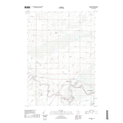
2018 Map of Northport
USGS Topo · Published 2018About this map
The Little Wolf River meanders sharply through the central terrain of Waupaca County before its confluence with the Wolf River just west of New London. This river-dominated landscape is defined by its dramatic oxbows and marshy lowlands, notably at Shirttail Bend. Small settlements such as Northport, Royalton, and Ostrander are clustered along these waterways, reflecting a historical reliance on the river system for transport and industry. Genealogists will find several distinct burial sites preserved on this sheet, including the Old Ostrander Cemetery and Saint Patrick Cemetery. The presence of small aviation facilities like Black Dog Farm Airport and Northport Airport underscores the rural, open character of the region, while a network of named country roads like Knopp Road and County Road N connects the scattered farmsteads and lakefront properties at Driscol Lake and Flynn Lake.
Find a feature on this map
82 named features on this map. Tap any name to fly to it.
Don’t see what you’re looking for? This feature index may not catch every label — zoom into the map to look around manually.
Map Details
Editions of this 2018 Northport Map
This is the sole edition of this map. No revisions or reprints were ever made.
Other maps of this area

1955 · Embarrass
USGS Topo · 1:48,000

1955 · Clintonville
USGS Topo · 1:48,000

1955 · Green Bay
USGS Topo · 1:250,000

1956 · New London
USGS Topo · 1:48,000

1956 · Weyauwega
USGS Topo · 1:48,000

1969 · New London
USGS Topo · 1:24,000

1969 · Readfield
USGS Topo · 1:24,000
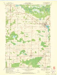
1969 · Hortonville
USGS Topo · 1:24,000

1969 · Northport
USGS Topo · 1:24,000

1969 · Bear Creek
USGS Topo · 1:24,000