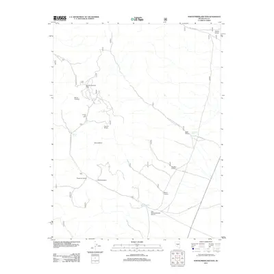
2012 Map of Northumberland Pass
USGS Topo · Published 2012About this map
Northumberland Pass serves as a central high-altitude transit point through the Toquima Range in Nye County. This high-desert landscape is defined by its series of deep drainages, including Threemile Canyon, Perkins Canyon, and East Northumberland Canyon. The presence of the Learville Post Office indicates a history of rural settlement and service in this remote mining or ranching district, while peaks like Mount Gooding and Mount Wilson dominate the skyline. Essential water sources are documented at Side Hill Spring, Water Canyon Springs, and Northumberland Spring, which were vital for life and industry in the arid Great Basin environment. A network of Forest Service development roads, such as Natl Forest Develop Road 485 Rd and Mill Canyon Rd, provides the primary infrastructure through the steep terrain.
Find a feature on this map
21 named features on this map. Tap any name to fly to it.
Don’t see what you’re looking for? This feature index may not catch every label — zoom into the map to look around manually.
Map Details
Editions of this 2012 Northumberland Pass Map
This is the sole edition of this map. No revisions or reprints were ever made.
Other maps of this area

1926 · Roberts Mountains
USGS Topo · 1:250,000

1929 · Roberts Mountains
USGS Topo · 1:250,000

1955 · Millett
USGS Topo · 1:250,000

1956 · Tonopah
USGS Topo · 1:250,000

1959 · Tonopah
USGS Topo · 1:250,000

1959 · Millett
USGS Topo · 1:250,000

1960 · Dianas Punch Bowl
USGS Topo · 1:62,500

1960 · Wildcat Peak
USGS Topo · 1:62,500

1962 · Tonopah
USGS Topo · 1:250,000

1971 · Mosquito Creek
USGS Topo · 1:24,000