Loading...
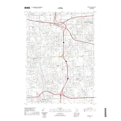
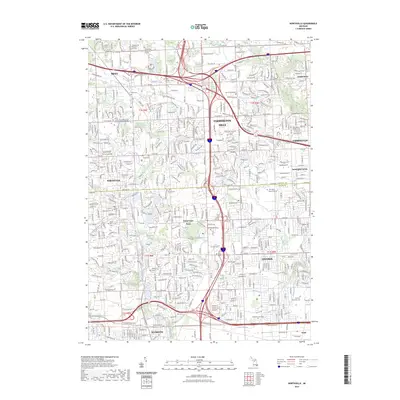
Loading map...1945 Map of Northville
USGS Topo · Published 1945About this map
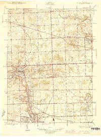
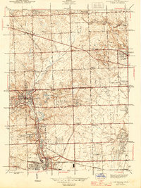
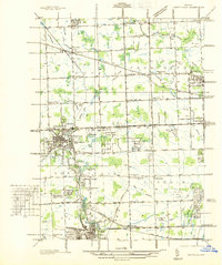
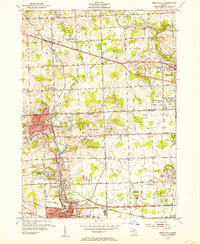
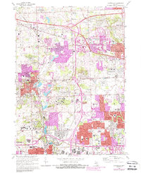
The Oakland Co and Wayne Co border serves as the primary dividing line for this mid-1940s landscape, where the growing towns of Northville, Plymouth, Novi, and Farmington are linked by a maturing grid of mile roads. The area is defined by the headwaters of the Rouge River system, including the Middle Rouge River and the Upper River Rouge, which feed into local landmarks like Waterford Pond and Phoenix Lake.
Find a feature on this map
79 named features on this map. Tap any name to fly to it.
Don’t see what you’re looking for? This feature index may not catch every label — zoom into the map to look around manually.
Map Details
Date Portrayed1945
Date Published1945
PublisherU.S. Geological Survey
Map TypeTopographic
Scale1:24,000
Physical Dimensions20.09 x 27.44 inches
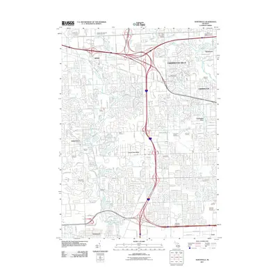
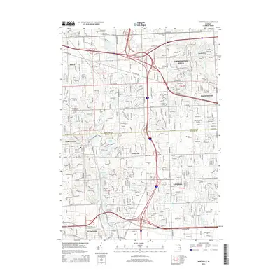
Editions of this 1945 Northville Map
2 editions found
Historical Maps of Livonia Through Time
9 maps found
Featured Locations
Source Details
SourceU.S. Geological Survey
CopyrightPublic Domain