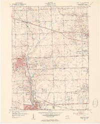
1952 Map of Northville
USGS Topo · Published 1954About this map
Northville and Plymouth anchor this mid-century portrait of suburban expansion in western Wayne and Oakland Counties. The landscape is a mix of established town centers and new residential developments like Grand View Acres and Farmington Acres, set against the sprawling grounds of institutional landmarks. Notable sites include the Northville State Hospital and the Wayne County Training School, alongside educational campuses like Madonna College and St John Seminary.
Find a feature on this map
60 named features on this map. Tap any name to fly to it.
Don’t see what you’re looking for? This feature index may not catch every label — zoom into the map to look around manually.
Map Details
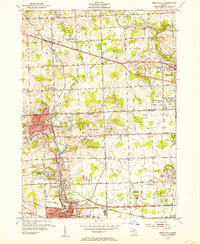
Editions of this 1952 Northville Map
2 editions found
Other maps of this area

1902 · South Lyon
USGS Topo · 1:62,500

1904 · Ann Arbor
USGS Topo · 1:125,000

1905 · Wayne
USGS Topo · 1:62,500

1906 · South Lyon
USGS Topo · 1:62,500

1907 · Pontiac
USGS Topo · 1:62,500

1908 · Ann Arbor
USGS Topo · 1:125,000

1909 · Milford
USGS Topo · 1:62,500

1912 · Wayne
USGS Topo · 1:62,500

1936 · Inkster
USGS Topo · 1:31,680

1936 · Wayne
USGS Topo · 1:31,680