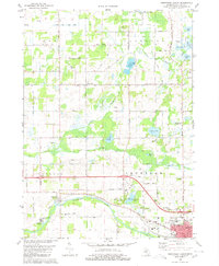
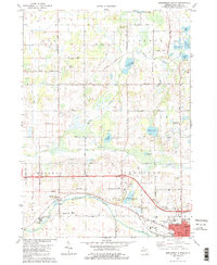
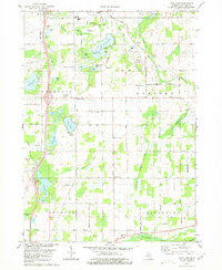
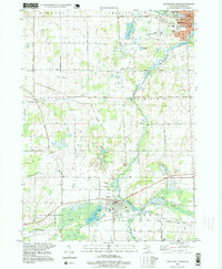
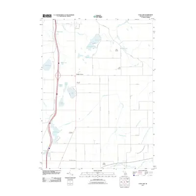
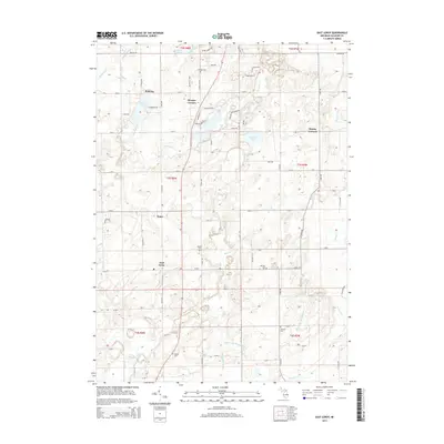
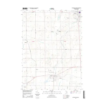
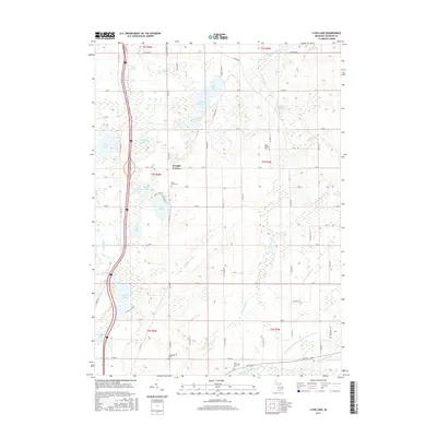
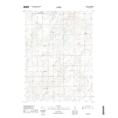
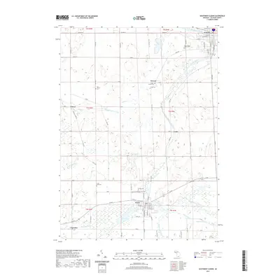
1980 Map of Northwest Albion
USGS Topo · Published 1980About this map
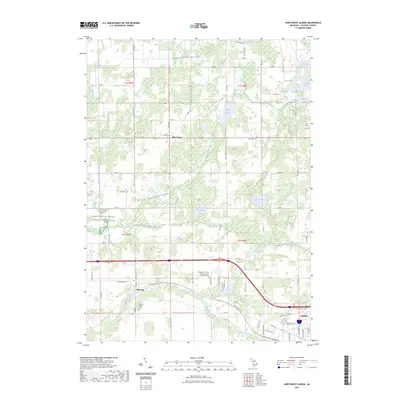
The Kalamazoo River and the South Branch Rice Creek define the drainage of this area in northern Calhoun County, where agricultural land is interspersed with small lakes and marshy basins. The village of Marengo and the western edge of Albion are the primary centers of activity, linked by the Conrail rail line. A notable institutional landmark is the Starr Commonwealth for Boys, located near several small water bodies like Montealm Lake.
Find a feature on this map
61 named features on this map. Tap any name to fly to it.
Don’t see what you’re looking for? This feature index may not catch every label — zoom into the map to look around manually.
Map Details
Editions of this 1980 Northwest Albion Map
2 editions found
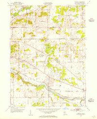
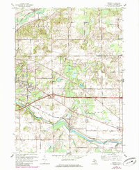
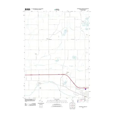
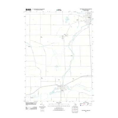
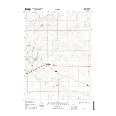
Historical Maps of Albion Through Time
38 maps found
1947 Ceresco
Calhoun County, MI
1961 Ceresco
Calhoun County, MI
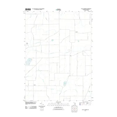
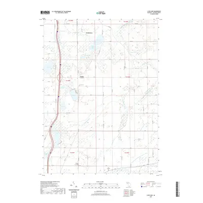
1980 Lyon Lake
Calhoun County, MI
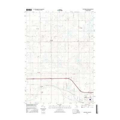
1980 Northwest Albion
Calhoun County, MI
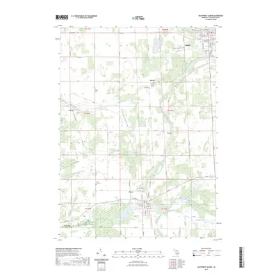
1980 Southwest Albion
Calhoun County, MI
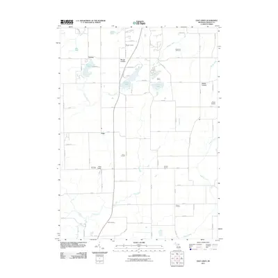
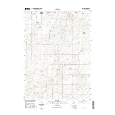
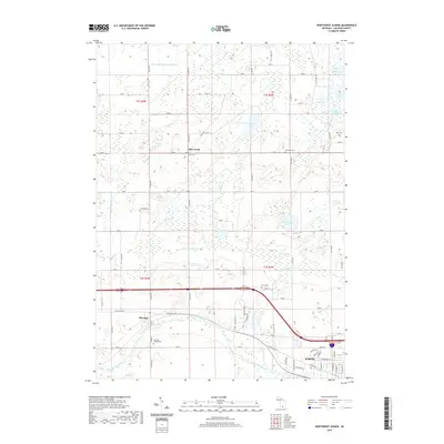
1982 East Leroy
Calhoun County, MI
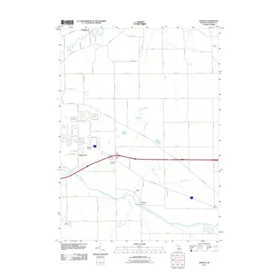
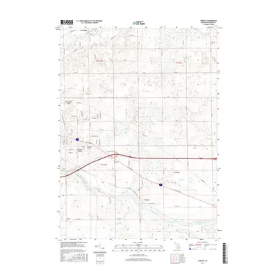
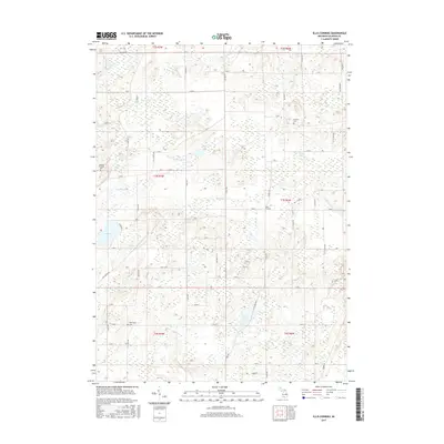
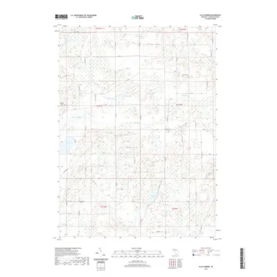
1982 Ellis Corners
Calhoun County, MI
1995 Southwest Albion
Calhoun County, MI
2011 Ceresco
Calhoun County, MI
2011 East Leroy
Calhoun County, MI
2011 Ellis Corners
Calhoun County, MI
2011 Lyon Lake
Calhoun County, MI
2011 Northwest Albion
Calhoun County, MI
2011 Southwest Albion
Calhoun County, MI
2014 Ceresco
Calhoun County, MI
2014 East Leroy
Calhoun County, MI
2014 Ellis Corners
Calhoun County, MI
2014 Lyon Lake
Calhoun County, MI
2014 Northwest Albion
Calhoun County, MI
2014 Southwest Albion
Calhoun County, MI
2017 Ceresco
Calhoun County, MI
2017 East Leroy
Calhoun County, MI
2017 Ellis Corners
Calhoun County, MI
2017 Lyon Lake
Calhoun County, MI
2017 Northwest Albion
Calhoun County, MI
2017 Southwest Albion
Calhoun County, MI
2019 Ceresco
Calhoun County, MI
2019 East Leroy
Calhoun County, MI
2019 Ellis Corners
Calhoun County, MI
2019 Lyon Lake
Calhoun County, MI
2019 Northwest Albion
Calhoun County, MI
2019 Southwest Albion
Calhoun County, MI
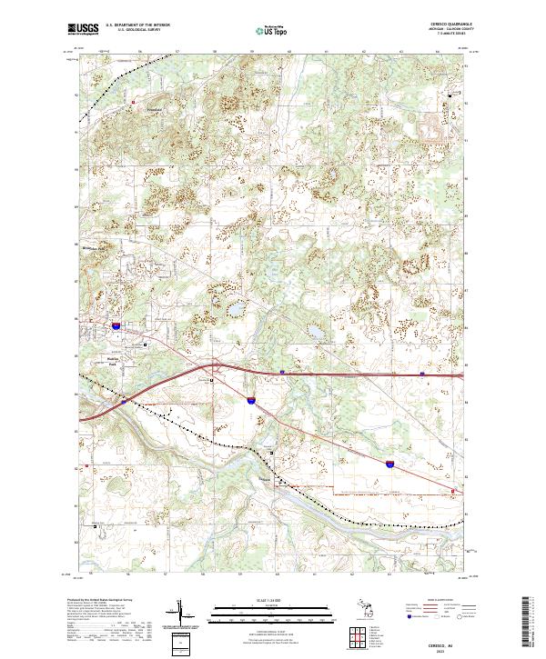
2023 Ceresco
Calhoun County, MI
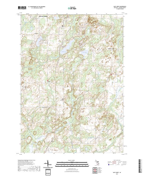
2023 East Leroy
Calhoun County, MI
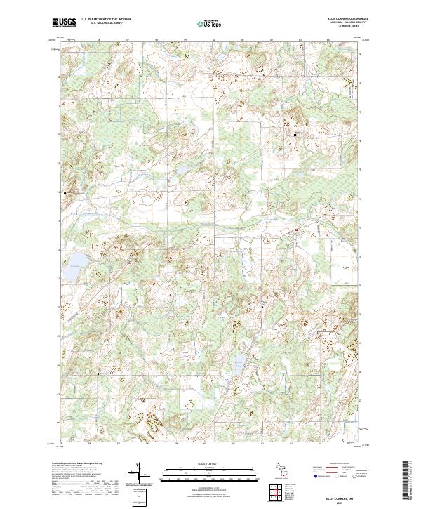
2023 Ellis Corners
Calhoun County, MI
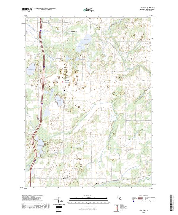
2023 Lyon Lake
Calhoun County, MI
2023 Northwest Albion
Calhoun County, MI
2023 Southwest Albion
Calhoun County, MI
Featured Locations
- Marengo Township, MI
- Albion, MI
- Sheridan Township, MI
- Rice Creek, Clarence Township
- Marengo, Marengo Township