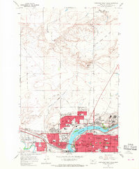
1965 Map of Northwest Great Falls
USGS Topo · Published 1968About this map
The Missouri River and Sun River converge here, anchoring an industrial and urban landscape defined by hydroelectric power and heavy rail. This mid-1960s survey captures Great Falls during a period of established industrial strength, dominated by the Smelter and the Black Eagle Dam near the community of Black Eagle. The city's growth is evident in its dense network of schools, including the Ursuline Academy and West Jr High Sch, and landmarks like the North Montana State Fairground.
Find a feature on this map
75 named features on this map. Tap any name to fly to it.
Don’t see what you’re looking for? This feature index may not catch every label — zoom into the map to look around manually.
Map Details
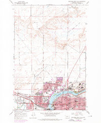
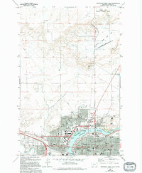
Editions of this 1965 Northwest Great Falls Map
3 editions found
Other maps of this area

1886 · Great Falls
USGS Topo · 1:250,000

1948 · Portage
USGS Topo · 1:62,500

1949 · Portage
USGS Topo · 1:62,500

1949 · Great Falls
USGS Topo · 1:62,500

1951 · Great Falls
USGS Topo · 1:62,500

1954 · Great Falls
USGS Topo · 1:250,000

1955 · Stockett
USGS Topo · 1:62,500

1955 · Gore Hill
USGS Topo · 1:62,500

1957 · Great Falls
USGS Topo · 1:250,000
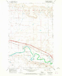
1965 · Manchester
USGS Topo · 1:24,000