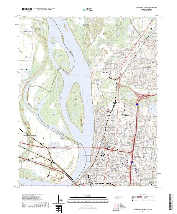
2022 Map of Northwest Memphis
USGS Topo · Published 2022About this map
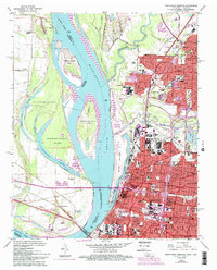
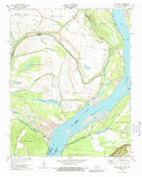
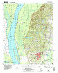
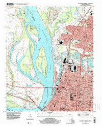
The Mississippi River carves a complex course between Tennessee and Arkansas, defining the geography of this 2022 survey. On the western bank, the Hopefield Chute and Hopefield Lake sit near the settlement of West Memphis, while the eastern side is dominated by the dense urban grid of Memphis. This area is characterized by significant topographic features such as Chickasaw Bluff Number Three and Chickasaw Bluff Number Four, which rise above the river's floodplains.
Find a feature on this map
262 named features on this map. Tap any name to fly to it.
Don’t see what you’re looking for? This feature index may not catch every label — zoom into the map to look around manually.
Map Details
Editions of this 2022 Northwest Memphis Map
This is the sole edition of this map. No revisions or reprints were ever made.
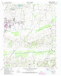
Historical Maps of Annesdale Park Through Time
22 maps found
1965 Eads
Shelby County, TN
1965 Ellendale
Shelby County, TN
1965 Northeast Memphis
Shelby County, TN
1965 Northwest Memphis
Shelby County, TN
1965 Southeast Memphis
Shelby County, TN
1965 Southwest Memphis
Shelby County, TN
1970 Locke
Shelby County, TN
1970 Pecan Point
Shelby County, TN
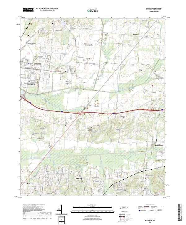
1971 Brunswick
Shelby County, TN
1986 Memphis West
Shelby County, TN
1997 Locke
Shelby County, TN
1997 Northeast Memphis
Shelby County, TN
1997 Northwest Memphis
Shelby County, TN
1997 Southeast Memphis
Shelby County, TN
2022 Brunswick
Shelby County, TN
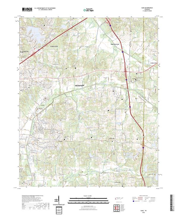
2022 Eads
Shelby County, TN
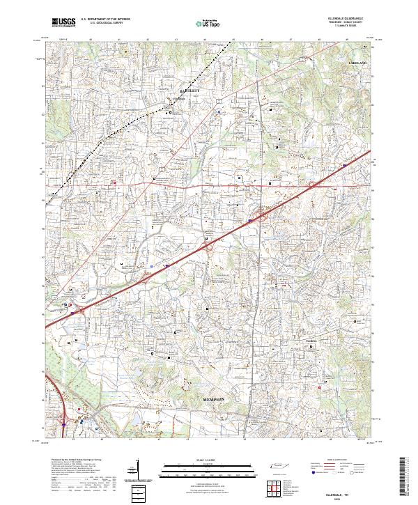
2022 Ellendale
Shelby County, TN
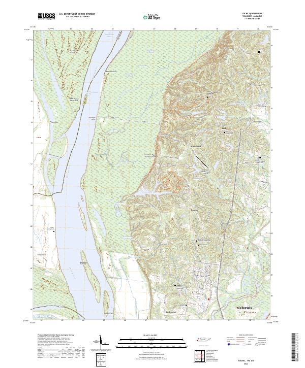
2022 Locke
Shelby County, TN
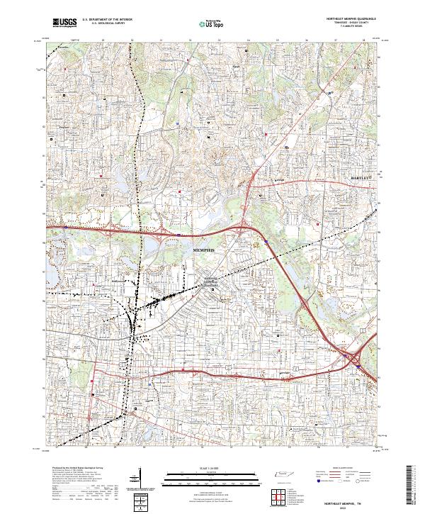
2022 Northeast Memphis
Shelby County, TN
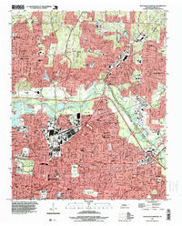
2022 Northwest Memphis
Shelby County, TN
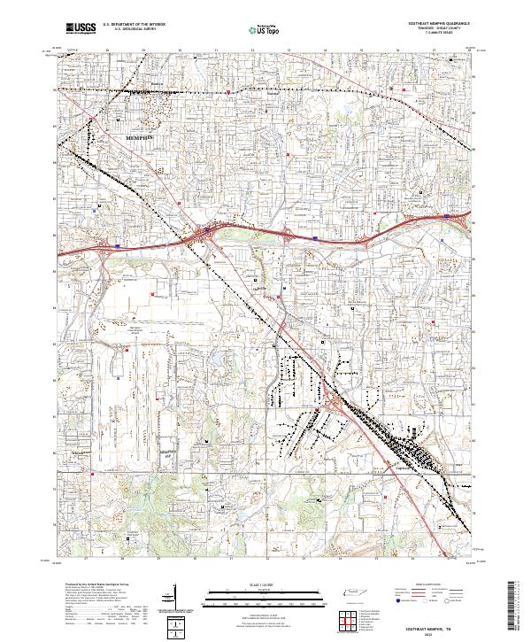
2022 Southeast Memphis
Shelby County, TN
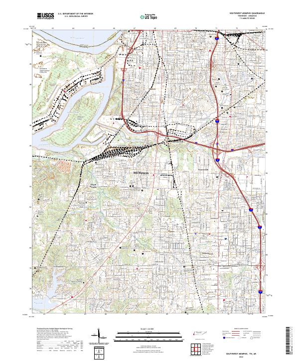
2022 Southwest Memphis
Shelby County, TN