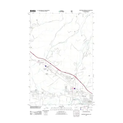
2011 Map of Northwest Missoula
USGS Topo · Published 2011About this map
Missoula's northern reaches and industrial corridors are captured here during a period of significant aviation and emergency management development. The presence of the Smokejumper Center and Aerial Fire Depot alongside the Missoula International Airport highlights the region's specialized role in wilderness firefighting. Transport and logistics dominate the central landscape, with arterial roads like Airway Blvd and the Keil Loop serving the expanding northwestern fringe.
Find a feature on this map
132 named features on this map. Tap any name to fly to it.
Don’t see what you’re looking for? This feature index may not catch every label — zoom into the map to look around manually.
Map Details
Editions of this 2011 Northwest Missoula Map
This is the sole edition of this map. No revisions or reprints were ever made.
Other maps of this area

1903 · Bonner
USGS Topo · 1:125,000

1912 · Missoula
USGS Topo · 1:125,000

1921 · Elbow Lake
USGS Topo · 1:125,000

1947 · Butte
USGS Topo · 1:250,000

1955 · Choteau
USGS Topo · 1:250,000

1956 · Wallace
USGS Topo · 1:250,000

1956 · Hamilton
USGS Topo · 1:250,000

1957 · Choteau
USGS Topo · 1:250,000

1958 · Butte
USGS Topo · 1:250,000

1958 · Choteau
USGS Topo · 1:250,000