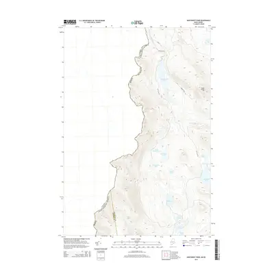
2014 Map of Northwest Pond
USGS Topo · Published 2014About this map
The international border between Canada and the United States defines the western edge of this topographic study, tracing the height of land where the Maine counties of Franklin and Oxford meet. This high-elevation wilderness is defined by a complex network of glacial ponds and wetlands, including Massachusetts Bog and the Massachusetts Bog Stream. The landscape is largely inaccessible by traditional roads, relying instead on routes like Big Island Rd and the Around Pond Trl to reach remote water bodies. Peaks such as Indian Stream Mtn overlook a series of small, clustered ponds like Little Northwest Pond, Northwest Pond, and S Boundary Pond, which sit directly against the boundary line. This 2014 survey documents a rugged corridor where the natural topography dictates the political frontier, showing the land as it appeared in the early 21st century.
Find a feature on this map
20 named features on this map. Tap any name to fly to it.
Don’t see what you’re looking for? This feature index may not catch every label — zoom into the map to look around manually.
Map Details
Editions of this 2014 Northwest Pond Map
This is the sole edition of this map. No revisions or reprints were ever made.
Other maps of this area

1928 · Chain Lakes
USGS Topo · 1:48,000

1931 · Cupsuptic
USGS Topo · 1:48,000

1932 · Kennebago Lake
USGS Topo · 1:48,000

1932 · Arnold Pond
USGS Topo · 1:48,000

1932 · Chain Lakes
USGS Topo · 1:62,500

1934 · Cupsuptic
USGS Topo · 1:62,500

1935 · Kennebago Lake
USGS Topo · 1:62,500

1935 · Chain Lakes
USGS Topo · 1:62,500

1935 · Cupsuptic
USGS Topo · 1:62,500

1935 · Arnold Pond
USGS Topo · 1:62,500