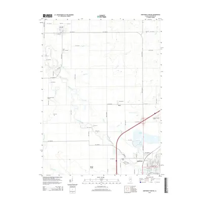
2015 Map of Northwest Pontiac
USGS Topo · Published 2015About this map
The Vermilion River snakes northward through the Illinois prairie, anchoring a landscape defined by the agricultural settlements of Pontiac, Cornell, and Rowe. This survey captures the transition from the structured street grid of northern Pontiac—with thoroughfares like W Livingston St and W Howard St—to the expansive rural reaches of Rooks Creek township. The drainage pattern is exceptionally well-defined, showing how Wolf Creek, Baker Run, and Ida Cr feed into the Vermilion.
Find a feature on this map
79 named features on this map. Tap any name to fly to it.
Don’t see what you’re looking for? This feature index may not catch every label — zoom into the map to look around manually.
Map Details
Editions of this 2015 Northwest Pontiac Map
This is the sole edition of this map. No revisions or reprints were ever made.
Other maps of this area

1925 · Streator
USGS Topo · 1:62,500

1927 · Streator
USGS Topo · 1:62,500

1935 · Pontiac
USGS Topo · 1:62,500

1939 · Pontiac
USGS Topo · 1:62,500

1958 · Flanagan
USGS Topo · 1:62,500

1958 · Odell
USGS Topo · 1:62,500

1958 · Aurora
USGS Topo · 1:250,000

1958 · Peoria
USGS Topo · 1:250,000

1961 · Aurora
USGS Topo · 1:250,000

1961 · Peoria
USGS Topo · 1:250,000