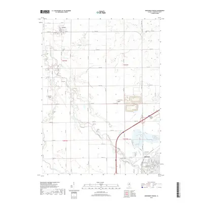
2018 Map of Northwest Pontiac
USGS Topo · Published 2018About this map
The Vermilion River snakes northward through the heart of Livingston County, shaping a landscape defined by its waterways and small farming communities. To the north, the village of Cornell sits near the river's edge, while the settlement of Rowe occupies a position further south along the modern rail and road corridors. Genealogists will find a wealth of burial sites scattered across the township, from the Cornell Cem and Bayou Cem in the north to the Corbins Cem and McMillan Cem near the river bends.
Find a feature on this map
59 named features on this map. Tap any name to fly to it.
Don’t see what you’re looking for? This feature index may not catch every label — zoom into the map to look around manually.
Map Details
Editions of this 2018 Northwest Pontiac Map
This is the sole edition of this map. No revisions or reprints were ever made.
Other maps of this area

1925 · Streator
USGS Topo · 1:62,500

1927 · Streator
USGS Topo · 1:62,500

1935 · Pontiac
USGS Topo · 1:62,500

1939 · Pontiac
USGS Topo · 1:62,500

1958 · Flanagan
USGS Topo · 1:62,500

1958 · Odell
USGS Topo · 1:62,500

1958 · Aurora
USGS Topo · 1:250,000

1958 · Peoria
USGS Topo · 1:250,000

1961 · Aurora
USGS Topo · 1:250,000

1961 · Peoria
USGS Topo · 1:250,000