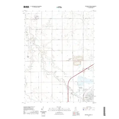
2021 Map of Northwest Pontiac
USGS Topo · Published 2021About this map
Pontiac serves as the focal point of this Livingston County landscape, situated where the Vermilion River bends near Heisner Island. The river and its tributaries, including Wolf Cr, Baker Run, and Rooks Creek, define the agricultural layout of the region. The map reveals a dense network of local cemeteries that offer a direct link to the area's pioneer past, from Bayou Cem and Zooks Cem in the west to Camp Cem and Rowe Cem further east. The small settlements of Cornell and Rowe are captured alongside significant transport markers, including a stretch of Old US Hwy 66 and the modern presence of the Pontiac Municipal Airport. This record of the township provides genealogists and local historians a clear view of the rural sections and established street grids of the county seat, where the Livingston County Law and Justice Center stands in the downtown core.
Find a feature on this map
86 named features on this map. Tap any name to fly to it.
Don’t see what you’re looking for? This feature index may not catch every label — zoom into the map to look around manually.
Map Details
Editions of this 2021 Northwest Pontiac Map
This is the sole edition of this map. No revisions or reprints were ever made.
Other maps of this area

1925 · Streator
USGS Topo · 1:62,500

1927 · Streator
USGS Topo · 1:62,500

1935 · Pontiac
USGS Topo · 1:62,500

1939 · Pontiac
USGS Topo · 1:62,500

1958 · Flanagan
USGS Topo · 1:62,500

1958 · Odell
USGS Topo · 1:62,500

1958 · Aurora
USGS Topo · 1:250,000

1958 · Peoria
USGS Topo · 1:250,000

1961 · Aurora
USGS Topo · 1:250,000

1961 · Peoria
USGS Topo · 1:250,000