
1961 Map of Northwest Pueblo
USGS Topo · Published 1962About this map
The Arkansas River corridor serves as the primary engine for the region, where industrial infrastructure and civic development converge at the start of the 1960s. This survey records the dense urban grid of Pueblo as it extends toward its western fringes, anchored by institutions like Pueblo Junior College and St Mary Hospital. The landscape transitions from the residential neighborhoods of Goodnight to the agricultural and water-management systems essential for high-plains life, including the Bessemer Ditch and the West Pueblo Ditch. North of the city, the land remains largely open, marked by the drainage of Wild Horse Creek and the steel tracks of the Atchison Topeka and Santa Fe railroad. Notable local landmarks like the State Fairground and City Park stand out as established community hubs, while the prominent Rock Canyon defines the river's path further west.
Find a feature on this map
50 named features on this map. Tap any name to fly to it.
Don’t see what you’re looking for? This feature index may not catch every label — zoom into the map to look around manually.
Map Details
Editions of this 1961 Northwest Pueblo Map
11 editions found
1962 edition
22.2 x 26.9 inches
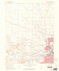
1962 edition
22.2 x 26.9 inches
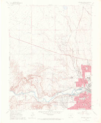
1970 edition
22.2 x 26.9 inches
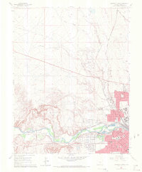
1970 edition
22.3 x 26.9 inches
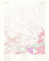
1972 edition
21.6 x 27.2 inches
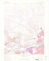
1972 edition
22.1 x 27.3 inches
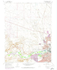
1974 edition
22.2 x 27 inches
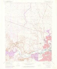
1976 edition
22.2 x 26.9 inches
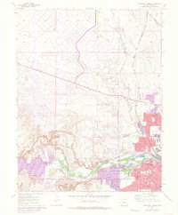
1976 edition
22.2 x 26.9 inches
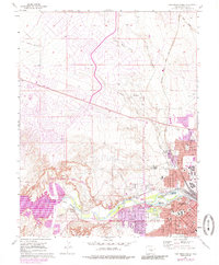
1985 edition
22.2 x 26.8 inches
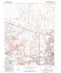
1994 edition
22.2 x 26.8 inches
Other maps of this area

1891 · Pueblo
USGS Topo · 1:125,000

1894 · Pueblo
USGS Topo · 1:125,000

1896 · Pueblo
USGS Topo · 1:125,000

1897 · Pueblo
USGS Topo · 1:125,000

1954 · Pueblo
USGS Topo · 1:250,000

1957 · Pueblo
USGS Topo · 1:250,000

1958 · Pueblo
USGS Topo · 1:250,000
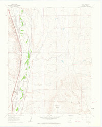
1960 · Pinon
USGS Topo · 1:24,000

1960 · Southeast Pueblo
USGS Topo · 1:24,000
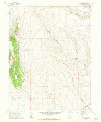
1961 · Steele Hollow
USGS Topo · 1:24,000