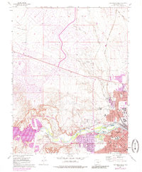
1961 Map of Northwest Pueblo
USGS Topo · Published 1985About this map
The Arkansas River corridor serves as the industrial and civic heart of this Colorado landscape, where the expanding city of Pueblo meets the high plains. This 1961 survey, later updated with mid-1970s revisions, documents a period of significant hydraulic engineering and suburban growth. The infrastructure is anchored by the Pueblo Dam and the Pueblo Ditch, which manage the river's flow for the surrounding communities of Goodnight and Irving Place.
Find a feature on this map
44 named features on this map. Tap any name to fly to it.
Don’t see what you’re looking for? This feature index may not catch every label — zoom into the map to look around manually.
Map Details
Editions of this 1961 Northwest Pueblo Map
11 editions found

1962 edition
22.2 x 26.9 inches
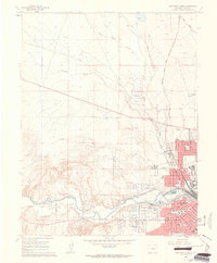
1962 edition
22.2 x 26.9 inches
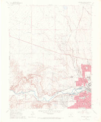
1970 edition
22.2 x 26.9 inches
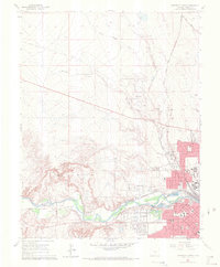
1970 edition
22.3 x 26.9 inches
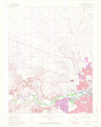
1972 edition
21.6 x 27.2 inches
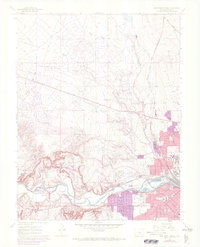
1972 edition
22.1 x 27.3 inches
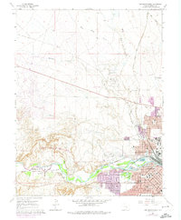
1974 edition
22.2 x 27 inches
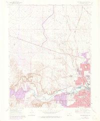
1976 edition
22.2 x 26.9 inches
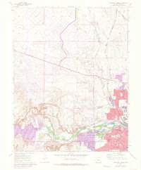
1976 edition
22.2 x 26.9 inches
1985 edition
22.2 x 26.8 inches
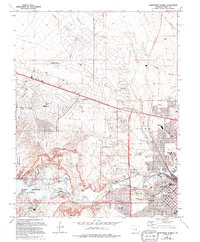
1994 edition
22.2 x 26.8 inches
Other maps of this area

1891 · Pueblo
USGS Topo · 1:125,000

1894 · Pueblo
USGS Topo · 1:125,000

1896 · Pueblo
USGS Topo · 1:125,000

1897 · Pueblo
USGS Topo · 1:125,000

1954 · Pueblo
USGS Topo · 1:250,000

1957 · Pueblo
USGS Topo · 1:250,000

1958 · Pueblo
USGS Topo · 1:250,000
1960 · Pinon
USGS Topo · 1:24,000

1960 · Southeast Pueblo
USGS Topo · 1:24,000
1961 · Steele Hollow
USGS Topo · 1:24,000