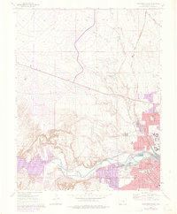
1961 Map of Northwest Pueblo
USGS Topo · Published 1976About this map
The western edge of Pueblo is captured during a period of infrastructure expansion, highlighted by the Arkansas Valley Conduit and sections of highway listed as Under Construction. This landscape within the historic Nolan Grant is defined by its educational and civic institutions, including Pueblo Junior College and the sprawling State Fairground. Residential growth is evident in the Goodnight area and numerous neighborhood schools such as St Therese Sch and Keating Jr High Sch. The map reveals the critical role of water management in this arid region, showing the complex Floodwall systems along the Arkansas River and several local catchments like Northside Reservoir and the Southside Reservoirs. Rail travel is well-represented by the Atchison Topeka and Santa Fe and the Denver and Rio Grande Western lines, while an Old Railroad Grade to the northwest points to the area's earlier transit history.
Find a feature on this map
39 named features on this map. Tap any name to fly to it.
Don’t see what you’re looking for? This feature index may not catch every label — zoom into the map to look around manually.
Map Details
Editions of this 1961 Northwest Pueblo Map
11 editions found

1962 edition
22.2 x 26.9 inches
1962 edition
22.2 x 26.9 inches
1970 edition
22.2 x 26.9 inches
1970 edition
22.3 x 26.9 inches
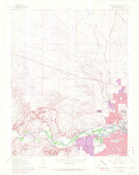
1972 edition
21.6 x 27.2 inches
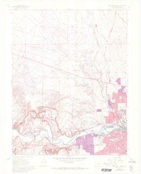
1972 edition
22.1 x 27.3 inches
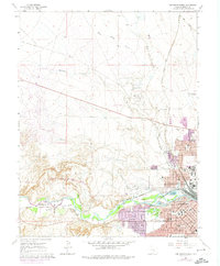
1974 edition
22.2 x 27 inches
1976 edition
22.2 x 26.9 inches
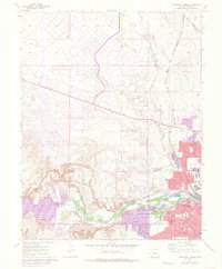
1976 edition
22.2 x 26.9 inches
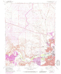
1985 edition
22.2 x 26.8 inches
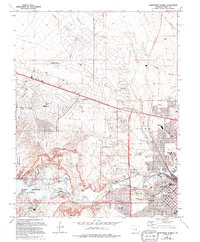
1994 edition
22.2 x 26.8 inches
Other maps of this area

1891 · Pueblo
USGS Topo · 1:125,000

1894 · Pueblo
USGS Topo · 1:125,000

1896 · Pueblo
USGS Topo · 1:125,000

1897 · Pueblo
USGS Topo · 1:125,000

1954 · Pueblo
USGS Topo · 1:250,000

1957 · Pueblo
USGS Topo · 1:250,000

1958 · Pueblo
USGS Topo · 1:250,000
1960 · Pinon
USGS Topo · 1:24,000

1960 · Southeast Pueblo
USGS Topo · 1:24,000
1961 · Steele Hollow
USGS Topo · 1:24,000