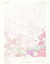
1961 Map of Northwest Pueblo
USGS Topo · Published 1972About this map
The Arkansas River corridor defines the industrial and civic landscape of this 1961 survey, showing Pueblo during a period of significant urban expansion. The southern banks are anchored by the neighborhood of Goodnight and the sprawling State Fairground, while the residential grid is dotted with neighborhood anchors like Irving Place Sch and St Therese Sch. To the west, the river carves through the dramatic Rock Canyon, a area historically contained within the bounds of the Nolan Grant.
Find a feature on this map
35 named features on this map. Tap any name to fly to it.
Don’t see what you’re looking for? This feature index may not catch every label — zoom into the map to look around manually.
Map Details
Editions of this 1961 Northwest Pueblo Map
11 editions found

1962 edition
22.2 x 26.9 inches
1962 edition
22.2 x 26.9 inches
1970 edition
22.2 x 26.9 inches
1970 edition
22.3 x 26.9 inches
1972 edition
21.6 x 27.2 inches
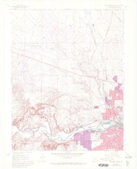
1972 edition
22.1 x 27.3 inches
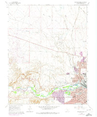
1974 edition
22.2 x 27 inches
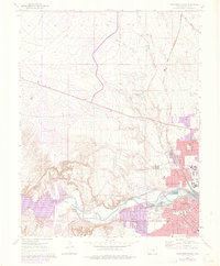
1976 edition
22.2 x 26.9 inches
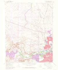
1976 edition
22.2 x 26.9 inches
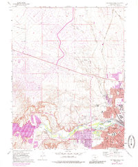
1985 edition
22.2 x 26.8 inches
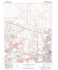
1994 edition
22.2 x 26.8 inches
Other maps of this area

1891 · Pueblo
USGS Topo · 1:125,000

1894 · Pueblo
USGS Topo · 1:125,000

1896 · Pueblo
USGS Topo · 1:125,000

1897 · Pueblo
USGS Topo · 1:125,000

1954 · Pueblo
USGS Topo · 1:250,000

1957 · Pueblo
USGS Topo · 1:250,000

1958 · Pueblo
USGS Topo · 1:250,000
1960 · Pinon
USGS Topo · 1:24,000

1960 · Southeast Pueblo
USGS Topo · 1:24,000
1961 · Steele Hollow
USGS Topo · 1:24,000