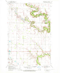
1970 Map of Northwood SE
USGS Topo · Published 1972About this map
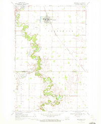
Newburgh and Enger townships define this agricultural landscape in Steele County during the early 1970s. The topography is dominated by the winding course of the Goose River and Beaver Creek, which carve distinct drainage patterns through the otherwise level prairie. The presence of multiple private airfields, such as the Peterson Landing Strip and Stavens Landing Strip, suggests the importance of aerial application or private travel in this rural farming community.
Find a feature on this map
16 named features on this map. Tap any name to fly to it.
Don’t see what you’re looking for? This feature index may not catch every label — zoom into the map to look around manually.
Map Details
Editions of this 1970 Northwood SE Map
This is the sole edition of this map. No revisions or reprints were ever made.
Other maps of this area

1952 · Grand Forks
USGS Topo · 1:250,000

1956 · Grand Forks
USGS Topo · 1:250,000

1966 · Grand Forks
USGS Topo · 1:250,000

1968 · Hope NE
USGS Topo · 1:24,000

1968 · Sherbrooke
USGS Topo · 1:24,000
1968 · Galesburg NW
USGS Topo · 1:24,000
1970 · Hatton
USGS Topo · 1:24,000
1970 · Northwood NW
USGS Topo · 1:24,000
1970 · Northwood
USGS Topo · 1:24,000
1970 · Golden Lake
USGS Topo · 1:24,000
Featured Places
- Newburgh Township, ND
- Golden Lake Township, ND
- Enger Township, ND
- Beaver Creek Township, ND
- Steele County, ND