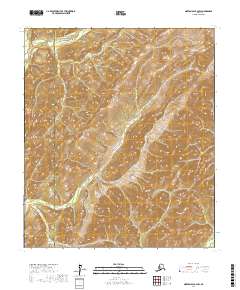
2017 Map of Norton Bay B-2 SW
USGS Topo · Published 2017About this map
The Nulato Hills dominate this portion of the Alaskan interior, where the landscape is defined by the steep, rhythmic drainage patterns of the western subarctic. Flowing through the northwest corner, the North River serves as the primary hydrological feature of the quadrangle. This 2017 survey captures a remote wilderness straddling the border between the Nome Census Area and the Yukon-Koyukuk Census Area. The absence of roads or permanent settlements underscores the isolation of this terrain, where the environment remains largely unchanged since early colonial exploration. This document provides an essential reference for understanding the physical geography of the region, including the precise boundaries of Township 13 South and Township 14 South.
Find a feature on this map
7 named features on this map. Tap any name to fly to it.
Don’t see what you’re looking for? This feature index may not catch every label — zoom into the map to look around manually.
Map Details
Editions of this 2017 Norton Bay B-2 SW Map
This is the sole edition of this map. No revisions or reprints were ever made.
Other maps of this area

1948 · Norton Bay
USGS Topo · 1:250,000

1950 · Norton Bay B-3
USGS Topo · 1:63,360

1950 · Norton Bay A-3
USGS Topo · 1:63,360

1951 · Norton Bay
USGS Topo · 1:250,000
1953 · Norton Bay B-2
USGS Topo · 1:63,360
1953 · Norton Bay A-2
USGS Topo · 1:63,360

1955 · Norton Bay
USGS Topo · 1:250,000
2017 · Norton Bay A-3 NE
USGS Topo · 1:25,000
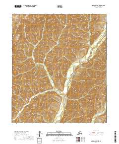
2017 · Norton Bay B-3 SE
USGS Topo · 1:25,000
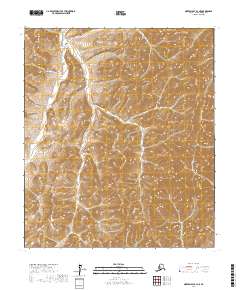
2017 · Norton Bay B-3 NE
USGS Topo · 1:25,000