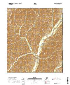
2017 Map of Norton Bay B-3 SE
USGS Topo · Published 2017About this map
Nulato Hills topography dominates this section of the Nome Census Area, where the landscape is defined by the winding course of the North River. This 2017 survey reveals the intricate drainage patterns and elevation changes across several townships, including t13s r8w and t14s r7w. The map provides a detailed look at the unpopulated interior of western Alaska, where the river serves as the primary geographical landmark through the hilly terrain. Researchers and geographers can trace the subtle shifts in the river's path as it meanders through the central and eastern portions of the quadrangle.
Find a feature on this map
6 named features on this map. Tap any name to fly to it.
Don’t see what you’re looking for? This feature index may not catch every label — zoom into the map to look around manually.
Map Details
Editions of this 2017 Norton Bay B-3 SE Map
This is the sole edition of this map. No revisions or reprints were ever made.
Other maps of this area

1948 · Norton Bay
USGS Topo · 1:250,000

1950 · Norton Bay B-3
USGS Topo · 1:63,360

1950 · Norton Bay A-3
USGS Topo · 1:63,360

1951 · Norton Bay
USGS Topo · 1:250,000
1953 · Norton Bay B-2
USGS Topo · 1:63,360
1953 · Norton Bay A-2
USGS Topo · 1:63,360

1955 · Norton Bay
USGS Topo · 1:250,000
2017 · Norton Bay A-3 NE
USGS Topo · 1:25,000
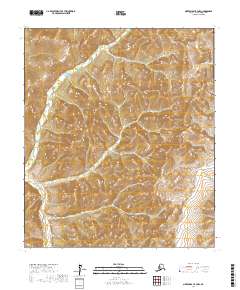
2017 · Norton Bay B-3 NW
USGS Topo · 1:25,000
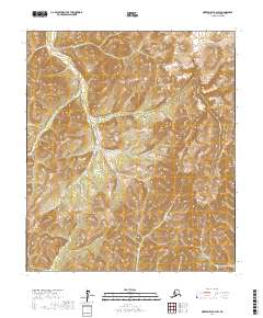
2017 · Norton Bay B-3 SW
USGS Topo · 1:25,000