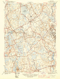
1944 Map of Norton
USGS Topo · Published 1944About this map
Wheaton College serves as a central anchor for this mid-century landscape, where the academic grounds meet the expanding industrial and institutional corridors of Bristol County. During the early 1940s, the region was defined by a mix of established manufacturing, seen at the Copper Works near Barrowsville, and significant wartime military presence at Camp Miles Standish on the eastern edge. The map captures a detailed hydrographic network including the Norton Reservoir and the winding Canoe River, which historically powered the local mills.
Find a feature on this map
51 named features on this map. Tap any name to fly to it.
Don’t see what you’re looking for? This feature index may not catch every label — zoom into the map to look around manually.
Map Details
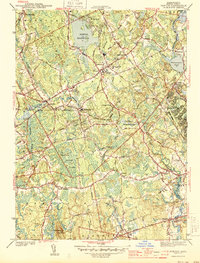
Editions of this 1944 Norton Map
2 editions found
Other maps of this area

1885 · Taunton
USGS Topo · 1:62,500

1886 · Dedham
USGS Topo · 1:62,500

1887 · Franklin
USGS Topo · 1:62,500

1887 · Providence
USGS Topo · 1:62,500

1888 · Taunton
USGS Topo · 1:62,500

1889 · Providence
USGS Topo · 1:62,500

1889 · Franklin
USGS Topo · 1:62,500

1893 · Taunton
USGS Topo · 1:62,500

1893 · Franklin
USGS Topo · 1:62,500

1894 · Dedham
USGS Topo · 1:62,500