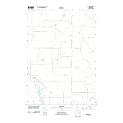
2010 Map of Norton
USGS Topo · Published 2010About this map
The settlement of Norton serves as a central point in this rural Dunn County landscape, situated at the crossroads of several local thoroughfares. To the west, the Hay River exhibits a highly sinuous, meandering path, eventually meeting the Red Cedar River in the southern portion of the quadrangle. This water-rich environment is further defined by several tributaries, including Otter Creek, Little Otter Creek, and Bronken Creek, which drain the surrounding agricultural fields.
Find a feature on this map
47 named features on this map. Tap any name to fly to it.
Don’t see what you’re looking for? This feature index may not catch every label — zoom into the map to look around manually.
Map Details
Editions of this 2010 Norton Map
This is the sole edition of this map. No revisions or reprints were ever made.
Other maps of this area

1934 · Elk Mound
USGS Topo · 1:62,500

1936 · Elk Mound
USGS Topo · 1:62,500

1940 · Menomonie
USGS Topo · 1:62,500

1942 · Menomonie
USGS Topo · 1:62,500

1949 · New Auburn
USGS Topo · 1:62,500

1949 · Ridgeland
USGS Topo · 1:62,500

1951 · Ridgeland
USGS Topo · 1:62,500

1951 · New Auburn
USGS Topo · 1:62,500

1953 · Eau Claire
USGS Topo · 1:250,000

1953 · Rice Lake
USGS Topo · 1:250,000