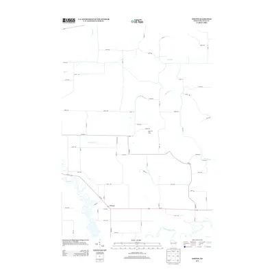
2013 Map of Norton
USGS Topo · Published 2013About this map
The settlement of Norton serves as a small anchor point in this rural landscape of Dunn County, situated near the winding course of the Hay River. The terrain is defined by a dense network of watercourses, including the Red Cedar River and various tributaries such as Little Otter Cr, Popple Cr, and Bronken Cr. This hydrology has long dictated the layout of the local agricultural grid, which is reflected in the systematic numbering of the rural road system, such as 1020th Ave and 640th St. To the north, the Deepwood Golf Course introduces a recreational land use amidst the traditional farmstead patterns. The geographic relationship between the rivers and the intersecting routes like Wi-170 and Co Hwy-N illustrates the modern connectivity of this quiet corner of Wisconsin.
Find a feature on this map
49 named features on this map. Tap any name to fly to it.
Don’t see what you’re looking for? This feature index may not catch every label — zoom into the map to look around manually.
Map Details
Editions of this 2013 Norton Map
This is the sole edition of this map. No revisions or reprints were ever made.
Other maps of this area

1934 · Elk Mound
USGS Topo · 1:62,500

1936 · Elk Mound
USGS Topo · 1:62,500

1940 · Menomonie
USGS Topo · 1:62,500

1942 · Menomonie
USGS Topo · 1:62,500

1949 · New Auburn
USGS Topo · 1:62,500

1949 · Ridgeland
USGS Topo · 1:62,500

1951 · Ridgeland
USGS Topo · 1:62,500

1951 · New Auburn
USGS Topo · 1:62,500

1953 · Eau Claire
USGS Topo · 1:250,000

1953 · Rice Lake
USGS Topo · 1:250,000