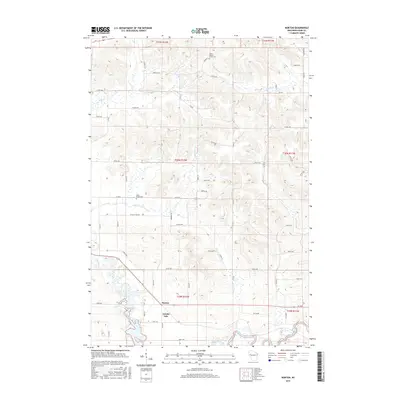
2015 Map of Norton
USGS Topo · Published 2015About this map
Norton stands at the intersection of a sprawling rural road network and the upper reaches of Tainter Lake in this 2015 survey of Dunn County. The landscape is defined by the convergence of the Hay River and the Red Cedar River, which feed into the northern fingers of the lake. This topography created a patchwork of agricultural land and wooded drainages, where local history is anchored by sites like the Upper Popple Creek Cem and Otter Creek Cem.
Find a feature on this map
55 named features on this map. Tap any name to fly to it.
Don’t see what you’re looking for? This feature index may not catch every label — zoom into the map to look around manually.
Map Details
Editions of this 2015 Norton Map
This is the sole edition of this map. No revisions or reprints were ever made.
Other maps of this area

1934 · Elk Mound
USGS Topo · 1:62,500

1936 · Elk Mound
USGS Topo · 1:62,500

1940 · Menomonie
USGS Topo · 1:62,500

1942 · Menomonie
USGS Topo · 1:62,500

1949 · New Auburn
USGS Topo · 1:62,500

1949 · Ridgeland
USGS Topo · 1:62,500

1951 · Ridgeland
USGS Topo · 1:62,500

1951 · New Auburn
USGS Topo · 1:62,500

1953 · Eau Claire
USGS Topo · 1:250,000

1953 · Rice Lake
USGS Topo · 1:250,000