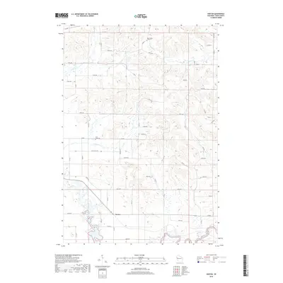
2018 Map of Norton
USGS Topo · Published 2018About this map
Norton stands at the confluence of several local watercourses in this rural pocket of Dunn County, where the topography is defined by the winding paths of the Hay River and the Red Cedar River in the southern reaches. The settlement pattern follows a grid of township roads that navigate a network of drainage basins, including the valleys carved by Popple Cr and Bronken Cr. Genealogical interest is anchored by the Upper Popple Creek Cem in the north and the Otter Creek Cem centrally located near the junction of Co Rd N. The landscape transitions from the higher elevations of Ridge Rd down toward the riparian corridors of Otter Cr and Little Otter Cr, illustrating the relationship between the area's agricultural development and its natural hydrology.
Find a feature on this map
47 named features on this map. Tap any name to fly to it.
Don’t see what you’re looking for? This feature index may not catch every label — zoom into the map to look around manually.
Map Details
Editions of this 2018 Norton Map
This is the sole edition of this map. No revisions or reprints were ever made.
Other maps of this area

1934 · Elk Mound
USGS Topo · 1:62,500

1936 · Elk Mound
USGS Topo · 1:62,500

1940 · Menomonie
USGS Topo · 1:62,500

1942 · Menomonie
USGS Topo · 1:62,500

1949 · New Auburn
USGS Topo · 1:62,500

1949 · Ridgeland
USGS Topo · 1:62,500

1951 · Ridgeland
USGS Topo · 1:62,500

1951 · New Auburn
USGS Topo · 1:62,500

1953 · Eau Claire
USGS Topo · 1:250,000

1953 · Rice Lake
USGS Topo · 1:250,000