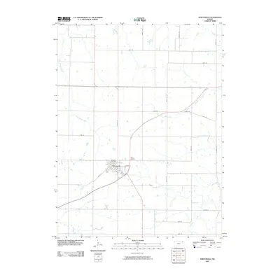
2009 Map of Nortonville
USGS Topo · Published 2009About this map
Nortonville serves as the primary hub of this rural Jefferson County landscape, centered around its grid-patterned streets like Oak St, Elm St, and E Walnut St. The township's civic and spiritual infrastructure is anchored by the Nortonville Post Office and Saint Josephs Cemetery just to the east. The surrounding terrain is defined by a dendritic network of waterways, with the winding paths of Little Stranger Creek and Stranger Creek flowing through the agricultural flats. This 2009 survey highlights a high density of rural infrastructure, where a rigorous grid of section-line roads, including Haskell Rd and Hamilton Rd, provides access to numerous scattered farmsteads and fields drained by Walnut Creek and Spring Creek.
Find a feature on this map
33 named features on this map. Tap any name to fly to it.
Don’t see what you’re looking for? This feature index may not catch every label — zoom into the map to look around manually.
Map Details
Editions of this 2009 Nortonville Map
This is the sole edition of this map. No revisions or reprints were ever made.
Other maps of this area

1885 · Atchison
USGS Topo · 1:125,000

1886 · Oskaloosa
USGS Topo · 1:125,000

1888 · Oskaloosa
USGS Topo · 1:125,000

1888 · Atchison
USGS Topo · 1:125,000

1893 · Atchison
USGS Topo · 1:125,000

1894 · Oskaloosa
USGS Topo · 1:125,000

1926 · Atchison
USGS Topo · 1:62,500

1950 · Kansas City
USGS Topo · 1:250,000

1954 · Kansas City
USGS Topo · 1:250,000

1956 · Kansas City
USGS Topo · 1:250,000