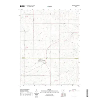
2018 Map of Nortonville
USGS Topo · Published 2018About this map
Nortonville sits at the intersection of several section-line roads on this northeastern Kansas landscape, straddling the border between Atchison Co and Jefferson Co. The town's grid is clearly defined by streets such as Main St, E Walnut St, and Railroad St, reflecting a layout typical of the region's agricultural hubs. This 2018 survey reveals a terrain sculpted by numerous small waterways, including Little Stranger Cr and Stranger Cr in the north and Crooked Cr and Hulls Br to the southeast. Genealogists will find significant value in the distribution of local burial grounds, ranging from the Nortonville Cem and Saint Joseph's Cem near the town center to the outlying Pardee Cem and Hart Cem, providing a spatial record of early settlement and community development throughout the surrounding townships.
Find a feature on this map
55 named features on this map. Tap any name to fly to it.
Don’t see what you’re looking for? This feature index may not catch every label — zoom into the map to look around manually.
Map Details
Editions of this 2018 Nortonville Map
This is the sole edition of this map. No revisions or reprints were ever made.
Other maps of this area

1885 · Atchison
USGS Topo · 1:125,000

1886 · Oskaloosa
USGS Topo · 1:125,000

1888 · Oskaloosa
USGS Topo · 1:125,000

1888 · Atchison
USGS Topo · 1:125,000

1893 · Atchison
USGS Topo · 1:125,000

1894 · Oskaloosa
USGS Topo · 1:125,000

1926 · Atchison
USGS Topo · 1:62,500

1950 · Kansas City
USGS Topo · 1:250,000

1954 · Kansas City
USGS Topo · 1:250,000

1956 · Kansas City
USGS Topo · 1:250,000