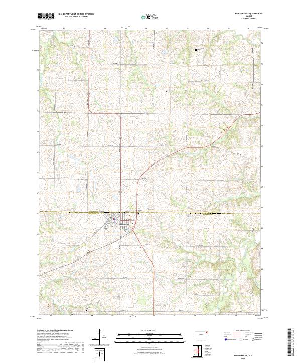
2022 Map of Nortonville
USGS Topo · Published 2022About this map
Nortonville serves as the primary hub of this landscape, situated near the boundary where Atchison and Jefferson counties meet. The town's grid is detailed with street-level precision, including Locust St, Main St, and Railroad St, reflecting a community structure established along historical transportation lines. Outside the town center, the terrain is defined by a dense network of local roads such as Greely Rd and 206th Rd, which bisect the countryside into organized sections typical of Kansas agricultural development.
Find a feature on this map
56 named features on this map. Tap any name to fly to it.
Don’t see what you’re looking for? This feature index may not catch every label — zoom into the map to look around manually.
Map Details
Editions of this 2022 Nortonville Map
This is the sole edition of this map. No revisions or reprints were ever made.
Other maps of this area

1885 · Atchison
USGS Topo · 1:125,000

1886 · Oskaloosa
USGS Topo · 1:125,000

1888 · Oskaloosa
USGS Topo · 1:125,000

1888 · Atchison
USGS Topo · 1:125,000

1893 · Atchison
USGS Topo · 1:125,000

1894 · Oskaloosa
USGS Topo · 1:125,000

1926 · Atchison
USGS Topo · 1:62,500

1950 · Kansas City
USGS Topo · 1:250,000

1954 · Kansas City
USGS Topo · 1:250,000

1956 · Kansas City
USGS Topo · 1:250,000