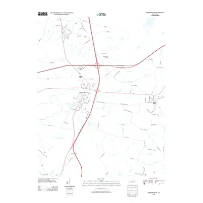
2013 Map of Nortonville
USGS Topo · Published 2013About this map
Nortonville and White Plains anchor this 2013 survey of southern Hopkins County, where the landscape is defined by the significant highway interchange between the Edward T. Breathitt Pennyrile Pkwy and the Western Kentucky Pkwy. Smaller communities like Oak Hill, Little Valley, and Rich Hill are situated among a dense network of watercourses, including Drakes Cr, Flat Cr, and Craborchard Cr.
Find a feature on this map
114 named features on this map. Tap any name to fly to it.
Don’t see what you’re looking for? This feature index may not catch every label — zoom into the map to look around manually.
Map Details
Editions of this 2013 Nortonville Map
This is the sole edition of this map. No revisions or reprints were ever made.
Other maps of this area

1907 · Earlington
USGS Topo · 1:48,000

1909 · Dawson Springs
USGS Topo · 1:48,000

1909 · Earlington
USGS Topo · 1:62,500

1909 · Madisonville
USGS Topo · 1:62,500

1911 · Dawson Springs
USGS Topo · 1:62,500

1912 · Nortonville
USGS Topo · 1:62,500

1952 · Crofton
USGS Topo · 1:24,000

1953 · Dawson Springs SE
USGS Topo · 1:24,000

1953 · Haleys Mill
USGS Topo · 1:24,000

1953 · Nortonville
USGS Topo · 1:24,000