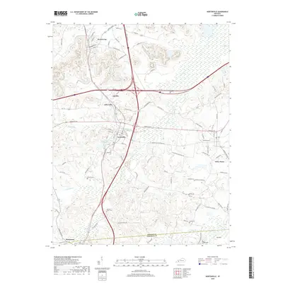
2019 Map of Nortonville
USGS Topo · Published 2019About this map
The CSX railroad corridor serves as a central artery through this portion of the Western Kentucky coalfield, connecting the communities of Mortons Gap, Nortonville, and Mannington. This landscape is defined by the winding course of Drakes Cr and its tributaries, including Craborchard Cr and Pleasant Run, which dictate the local topography. The map illustrates a dense network of local roads and state routes, such as Hopkinsville Rd and Nortonville Rd, that tie together smaller residential pockets like Oak Hill, Little Valley, and Rich Hill.
Find a feature on this map
100 named features on this map. Tap any name to fly to it.
Don’t see what you’re looking for? This feature index may not catch every label — zoom into the map to look around manually.
Map Details
Editions of this 2019 Nortonville Map
This is the sole edition of this map. No revisions or reprints were ever made.
Other maps of this area

1907 · Earlington
USGS Topo · 1:48,000

1909 · Dawson Springs
USGS Topo · 1:48,000

1909 · Earlington
USGS Topo · 1:62,500

1909 · Madisonville
USGS Topo · 1:62,500

1911 · Dawson Springs
USGS Topo · 1:62,500

1912 · Nortonville
USGS Topo · 1:62,500

1952 · Crofton
USGS Topo · 1:24,000

1953 · Dawson Springs SE
USGS Topo · 1:24,000

1953 · Haleys Mill
USGS Topo · 1:24,000

1953 · Nortonville
USGS Topo · 1:24,000