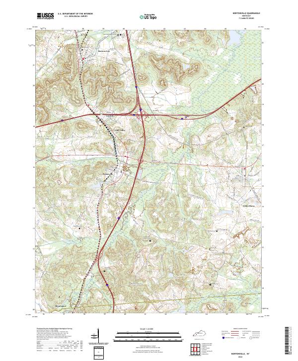
2022 Map of Nortonville
USGS Topo · Published 2022About this map
Nortonville serves as a central hub in this landscape where the modern interstate corridors intersect older paths like Hopkinsville Rd and Greenville Rd. The terrain is characterized by a high density of small family and community burial grounds, including Whitfield Cem and Furgerson Cem, which suggest long-standing patterns of rural settlement across the Hopkins and Christian county line. Waterways such as Drakes Cr and Pleasant Run wind through the topography, while Nortonville Lake sits just south of the town center.
Find a feature on this map
102 named features on this map. Tap any name to fly to it.
Don’t see what you’re looking for? This feature index may not catch every label — zoom into the map to look around manually.
Map Details
Editions of this 2022 Nortonville Map
This is the sole edition of this map. No revisions or reprints were ever made.
Other maps of this area

1907 · Earlington
USGS Topo · 1:48,000

1909 · Dawson Springs
USGS Topo · 1:48,000

1909 · Earlington
USGS Topo · 1:62,500

1909 · Madisonville
USGS Topo · 1:62,500

1911 · Dawson Springs
USGS Topo · 1:62,500

1912 · Nortonville
USGS Topo · 1:62,500

1952 · Crofton
USGS Topo · 1:24,000

1953 · Dawson Springs SE
USGS Topo · 1:24,000

1953 · Haleys Mill
USGS Topo · 1:24,000

1953 · Nortonville
USGS Topo · 1:24,000