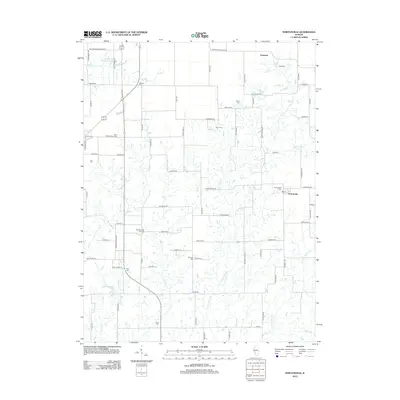
2012 Map of Nortonville
USGS Topo · Published 2012About this map
Murrayville Woodson Lake and the nearby Saint Bartholomew Cem anchor the northern landscape of this Morgan County region. The terrain is defined by an intricate network of waterways, including Little Apple Cr, Lick Cr, and the Left Fork Apple Cr, which weave through a grid of rural roads named for early families. For genealogists, the map is remarkably dense with burial sites like Zion Number One Cem, Ceres Cem, and Sooy Cem, marking the generations of farming families that settled these prairie reaches. The small village of Nortonville sits in the eastern portion of the survey, surrounded by legacy landmarks such as Youngblood Cem and the waters of Mooney Br. This 2012 record preserves the placement of isolated homesteads and family cemeteries that might otherwise be overlooked in modern satellite imagery.
Find a feature on this map
82 named features on this map. Tap any name to fly to it.
Don’t see what you’re looking for? This feature index may not catch every label — zoom into the map to look around manually.
Map Details
Editions of this 2012 Nortonville Map
This is the sole edition of this map. No revisions or reprints were ever made.
Other maps of this area

1924 · Winchester
USGS Topo · 1:48,000

1924 · Roodhouse
USGS Topo · 1:62,500

1926 · Winchester
USGS Topo · 1:62,500

1926 · Roodhouse
USGS Topo · 1:62,500

1932 · Greenfield
USGS Topo · 1:62,500

1932 · Jacksonville
USGS Topo · 1:62,500

1937 · Jacksonville
USGS Topo · 1:62,500

1948 · Quincy
USGS Topo · 1:250,000

1956 · Quincy
USGS Topo · 1:250,000
1983 · Manchester
USGS Topo · 1:24,000