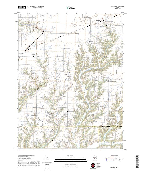
2024 Map of Nortonville
USGS Topo · Published 2024About this map
Agricultural lands and wooded creek drainages define this portion of Morgan County, where the small settlement of Nortonville serves as a central landmark. The landscape is characterized by its numerous family and community burial grounds, such as Saint Bartholomew Cem and Youngblood Cem, which provide significant points of interest for genealogists and local historians. This contemporary map documents the area where the Morgan and Macoupin county lines converge.
Find a feature on this map
86 named features on this map. Tap any name to fly to it.
Don’t see what you’re looking for? This feature index may not catch every label — zoom into the map to look around manually.
Map Details
Editions of this 2024 Nortonville Map
This is the sole edition of this map. No revisions or reprints were ever made.
Other maps of this area

1924 · Winchester
USGS Topo · 1:48,000

1924 · Roodhouse
USGS Topo · 1:62,500

1926 · Winchester
USGS Topo · 1:62,500

1926 · Roodhouse
USGS Topo · 1:62,500

1932 · Greenfield
USGS Topo · 1:62,500

1932 · Jacksonville
USGS Topo · 1:62,500

1937 · Jacksonville
USGS Topo · 1:62,500

1948 · Quincy
USGS Topo · 1:250,000

1956 · Quincy
USGS Topo · 1:250,000
1983 · Manchester
USGS Topo · 1:24,000