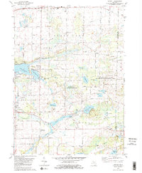
1980 Map of Norvell
USGS Topo · Published 1981About this map
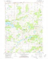
The Raisin River meanders through the southern townships of this Michigan landscape, anchoring a rural region defined by its numerous glacial lakes and wetlands. The small settlements of Napoleon and Norvell serve as local hubs, with the latter situated near the expansive Norvell Lake. To the east, the Sharonville State Wildlife Management Area preserves a significant portion of the terrain, while the northern edge is marked by the heavy infrastructure of Michigan Avenue and the Conrail line. Cultural landmarks of the late 1970s and early 1980s are evident, including the Romanian Orthodox Episcopate near the Grass Lake border and the lakeside Camp Teetonkah. A mix of recreation and industry is visible in the presence of several Golf Courses and scattered Gravel Pits, illustrating the varied land use of Jackson and Washtenaw Counties during this era.
Find a feature on this map
63 named features on this map. Tap any name to fly to it.
Don’t see what you’re looking for? This feature index may not catch every label — zoom into the map to look around manually.
Map Details
Editions of this 1980 Norvell Map
2 editions found
Other maps of this area

1919 · Stockbridge
USGS Topo · 1:62,500

1919 · Rives Junction
USGS Topo · 1:62,500

1921 · Rives Junction
USGS Topo · 1:62,500

1922 · Stockbridge
USGS Topo · 1:62,500

1935 · Jackson
USGS Topo · 1:48,000

1939 · Jackson
USGS Topo · 1:62,500

1942 · Stockbridge
USGS Topo · 1:62,500

1948 · Manchester
USGS Topo · 1:62,500

1949 · Manchester
USGS Topo · 1:62,500

1958 · Grand Rapids
USGS Topo · 1:250,000