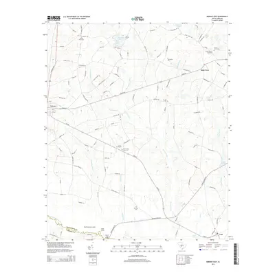
2014 Map of Norway East
USGS Topo · Published 2014About this map
The South Fork Edisto River forms the southern boundary of this Orangeburg County landscape, separating it from Bamberg County near Snow Island. This region is defined by a complex network of wetlands, including the expansive Roberts Swamp, Twomile Swamp, and Deadfall Swamp. These water systems dictate the placement of small rural communities like Norway, Bolen Town, and Cope, which are connected by a grid of farm-to-market roads and the Southern rail line.
Find a feature on this map
122 named features on this map. Tap any name to fly to it.
Don’t see what you’re looking for? This feature index may not catch every label — zoom into the map to look around manually.
Map Details
Editions of this 2014 Norway East Map
This is the sole edition of this map. No revisions or reprints were ever made.
Other maps of this area

1919 · Bamberg
USGS Topo · 1:48,000

1920 · Bamberg
USGS Topo · 1:62,500

1920 · Orangeburg
USGS Topo · 1:48,000

1921 · Orangeburg
USGS Topo · 1:62,500

1943 · Bamberg
USGS Topo · 1:62,500

1943 · Orangeburg
USGS Topo · 1:125,000

1943 · Orangeburg
USGS Topo · 1:62,500

1946 · Woodford
USGS Topo · 1:62,500

1946 · St. Matthews
USGS Topo · 1:62,500

1954 · Augusta
USGS Topo · 1:250,000