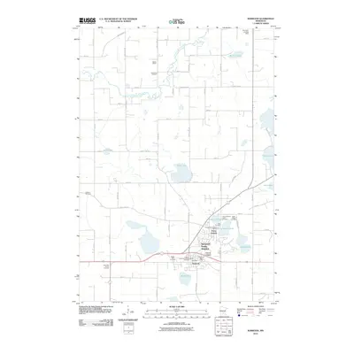
2010 Map of Norwood
USGS Topo · Published 2010About this map
Norwood Young America is the central hub of this Carver County landscape, showing the convergence of local life around the established settlements of Young America and Norwood. The topography is defined by a dense network of small lakes and watercourses, including Eagle Lake, Barnes Lake, and the winding South Fork Crow River in the north. This 2010 survey highlights a significant concentration of local heritage sites, particularly cemeteries such as Saint Johns Cemetery, Mau Cemetery, and the Church of the Ascension Catholic Cemetery.
Find a feature on this map
66 named features on this map. Tap any name to fly to it.
Don’t see what you’re looking for? This feature index may not catch every label — zoom into the map to look around manually.
Map Details
Editions of this 2010 Norwood Map
This is the sole edition of this map. No revisions or reprints were ever made.
Other maps of this area

1953 · Saint Paul
USGS Topo · 1:250,000

1953 · New Ulm
USGS Topo · 1:250,000

1957 · New Ulm
USGS Topo · 1:250,000

1957 · Belle Plaine
USGS Topo · 1:62,500

1957 · Waconia
USGS Topo · 1:62,500

1958 · New Ulm
USGS Topo · 1:250,000

1958 · Gaylord
USGS Topo · 1:62,500

1958 · Glencoe
USGS Topo · 1:62,500

1959 · Saint Paul
USGS Topo · 1:250,000

1967 · New Ulm
USGS Topo · 1:250,000
Featured Places
- Norwood Young America, MN
- Young America, Norwood Young America
- Young America Township, MN
- Norwood, Norwood Young America
- Benton Township, MN