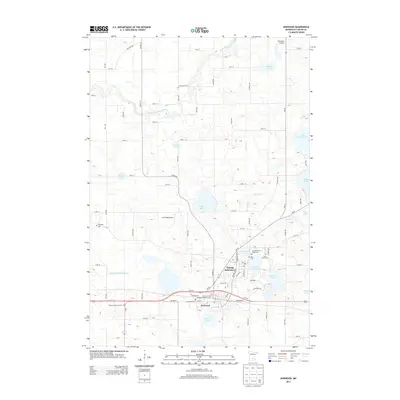
2013 Map of Norwood
USGS Topo · Published 2013About this map
Norwood and Young America appear as a dual settlement hub in this Carver County landscape, showing the town's orientation along the corridor of Railroad St and the US-212 highway. The area is exceptionally dense with genealogical landmarks, including the Forest Hills Cem, Young America Public Cem, and the Church of the Ascension Catholic Cem. This 2013 survey illustrates how the residential and commercial centers are tightly integrated with numerous water bodies like Young America Lake and Braunworth Lake.
Find a feature on this map
52 named features on this map. Tap any name to fly to it.
Don’t see what you’re looking for? This feature index may not catch every label — zoom into the map to look around manually.
Map Details
Editions of this 2013 Norwood Map
This is the sole edition of this map. No revisions or reprints were ever made.
Other maps of this area

1953 · Saint Paul
USGS Topo · 1:250,000

1953 · New Ulm
USGS Topo · 1:250,000

1957 · New Ulm
USGS Topo · 1:250,000

1957 · Belle Plaine
USGS Topo · 1:62,500

1957 · Waconia
USGS Topo · 1:62,500

1958 · New Ulm
USGS Topo · 1:250,000

1958 · Gaylord
USGS Topo · 1:62,500

1958 · Glencoe
USGS Topo · 1:62,500

1959 · Saint Paul
USGS Topo · 1:250,000

1967 · New Ulm
USGS Topo · 1:250,000
Featured Places
- Norwood Young America, MN
- Young America, Norwood Young America
- Young America Township, MN
- Norwood, Norwood Young America
- Benton Township, MN