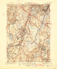
1941 Map of Norwood
USGS Topo · Published 1947About this map
The Neponset River valley and its surrounding industrial and residential growth are meticulously detailed in this mid-century survey. Heavy infrastructure, including the Circumferential Highway and U.S. No. 1, cuts through the landscape, reflecting the suburban expansion of Dedham, Westwood, and Norwood. The rail network of the New York New Haven and Hartford railroad remains a primary corridor, connecting established village centers like Canton Junction and Islington while passing specialized landmarks such as the Sharon Sanatorium and the Norfolk County Agricultural Sch. Significant water management is evident through numerous mill ponds and reservoirs, including Bird Pond and Reservoir Pond. The presence of the Norwood Airfield and several large country clubs indicates the diversifying land use of the era, while extensive burial grounds like Knollwood Cemetery and Highland Cem provide important records for local genealogical research.
Find a feature on this map
97 named features on this map. Tap any name to fly to it.
Don’t see what you’re looking for? This feature index may not catch every label — zoom into the map to look around manually.
Map Details
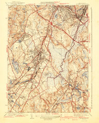
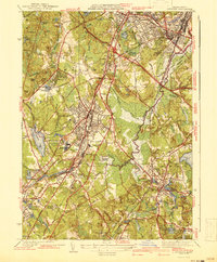
Editions of this 1941 Norwood Map
3 editions found
Other maps of this area

1886 · Dedham
USGS Topo · 1:62,500

1886 · Framingham
USGS Topo · 1:62,500

1887 · Franklin
USGS Topo · 1:62,500

1889 · Franklin
USGS Topo · 1:62,500

1889 · Framingham
USGS Topo · 1:62,500

1893 · Franklin
USGS Topo · 1:62,500

1893 · Boston
USGS Topo · 1:62,500

1894 · Dedham
USGS Topo · 1:62,500

1894 · Framingham
USGS Topo · 1:62,500

1903 · Boston
USGS Topo · 1:62,500