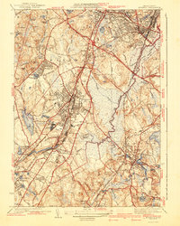
1941 Map of Norwood
USGS Topo · Published 1941About this map
The Neponset River and its expansive Fowl Meadow define the central landscape of this 1936 survey, where the river's winding course is hemmed in by industrial development and major transit lines. Early 20th-century transportation dominates the region, with the Circumferential Highway and the New York New Haven and Hartford railroad facilitating movement between established town centers like Norwood and Dedham.
Find a feature on this map
90 named features on this map. Tap any name to fly to it.
Don’t see what you’re looking for? This feature index may not catch every label — zoom into the map to look around manually.
Map Details
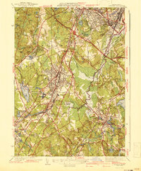
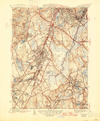
Editions of this 1941 Norwood Map
3 editions found
Other maps of this area

1886 · Dedham
USGS Topo · 1:62,500

1886 · Framingham
USGS Topo · 1:62,500

1887 · Franklin
USGS Topo · 1:62,500

1889 · Franklin
USGS Topo · 1:62,500

1889 · Framingham
USGS Topo · 1:62,500

1893 · Franklin
USGS Topo · 1:62,500

1893 · Boston
USGS Topo · 1:62,500

1894 · Dedham
USGS Topo · 1:62,500

1894 · Framingham
USGS Topo · 1:62,500

1903 · Boston
USGS Topo · 1:62,500